Which surveying services are available in Utrecht?
We provide site and elevation surveys, setting out, dimensional control, verification surveys, as-built capture and 3D laser scanning.
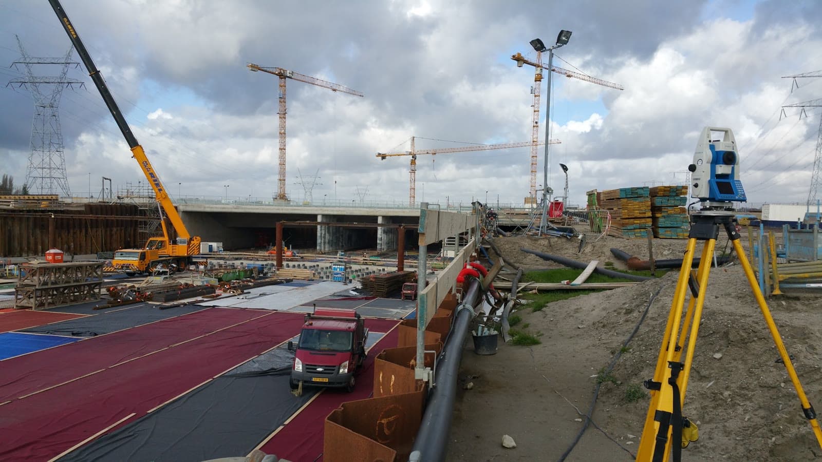
Dimensional control, topographic surveys and 3D laser scanning in Utrecht and surrounding municipalities.
Dutch Survey BV serves the Utrecht region. We agree the survey method, accuracy, schedule and deliverables before fieldwork starts.
Services include terrain surveys, setting out, verification and deformation surveys, as-built capture and 3D laser scanning, delivered as reports, CAD, point clouds or BIM.
We work for contractors, engineers, architects, property owners, municipalities and asset managers across Utrecht and nearby towns.
We provide site and elevation surveys, setting out, dimensional control, verification surveys, as-built capture and 3D laser scanning.
Yes. We serve Nieuwegein, Houten, Woerden and surrounding municipalities, and assess specialist projects outside the regular service area.
Deliverables can include reports, point lists, DWG, DXF, point clouds, terrain models and BIM models.
Got a survey question or want to discuss the options? Feel free to reach out. We are happy to think along about the right approach for your project, no strings attached.
Or request a no-obligation quote directly.