South Holland
Rotterdam, The Hague, Gouda, Leiden, Delft, Dordrecht and the Europoort
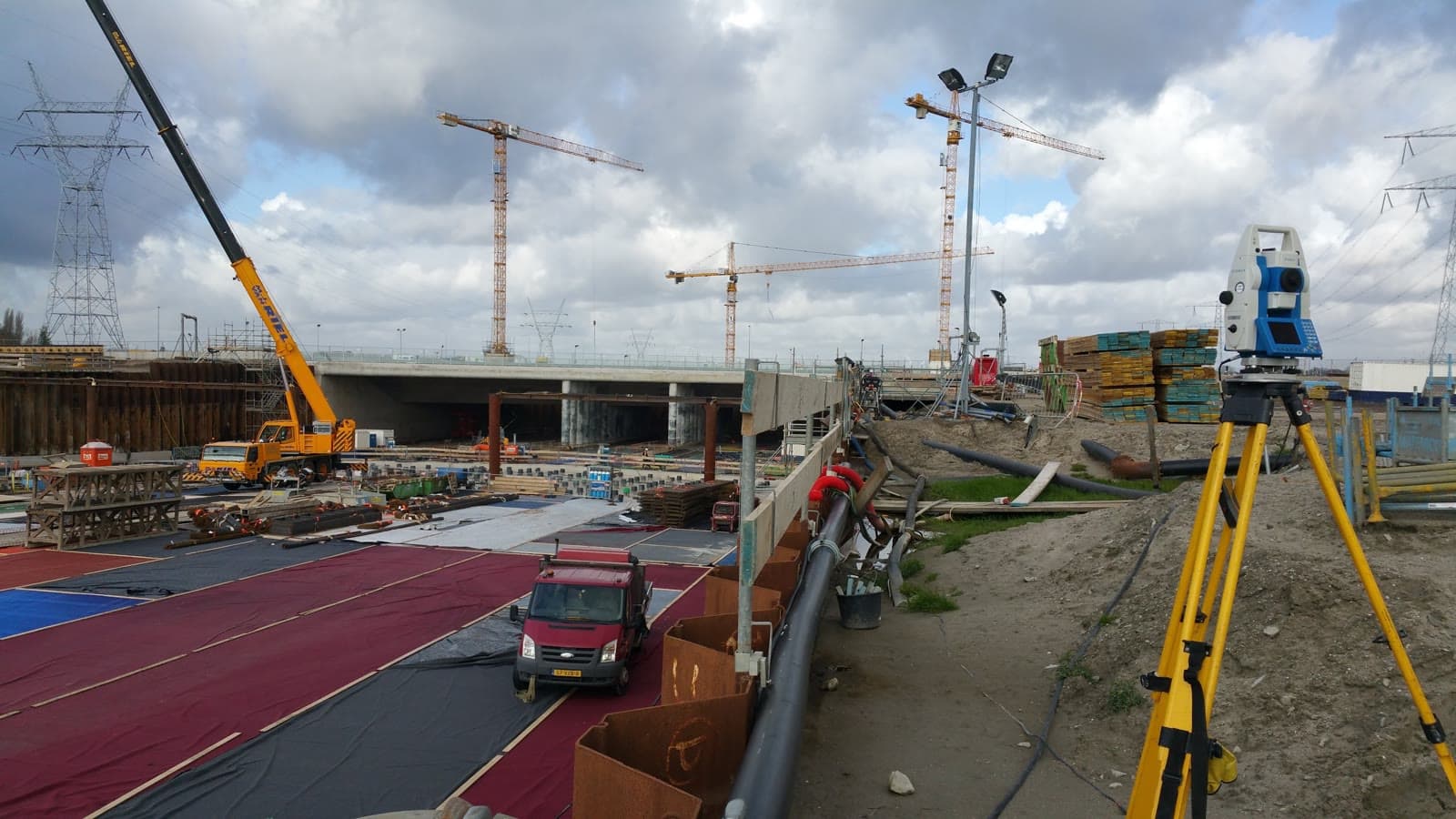
We are available for land surveying, dimensional control and 3D laser scanning across the western and central Netherlands.
Most of our fieldwork takes place in the regions below. For specialist or multi-day assignments we also assess sites outside this area.
Rotterdam, The Hague, Gouda, Leiden, Delft, Dordrecht and the Europoort
Utrecht, Woerden, Nieuwegein, Houten and surrounding municipalities
Amsterdam, Haarlemmermeer, Schiphol and the southern part of the province
Almere, Lelystad and accessible project sites across the province
Breda, Bergen op Zoom, West Brabant and adjacent areas
Tholen and accessible parts of Zeeland; other locations by agreement
Terrain and site surveys, trees, waterways, dikes, elevations and objects for design, asset management and permits.
Discuss your project location →Reference points, construction setting out, verification surveys and as-built reporting for construction, infrastructure and industry.
Discuss your project location →From on-site capture to point cloud, CAD drawing, BIM model or virtual tour for engineering and renovation.
Discuss your project location →We survey public space and infrastructure for design, management and updates. This includes roads, paving, vegetation, trees, waterways, banks, slopes, dikes and terrain models. Before work starts we agree the required objects, attributes, accuracy and file formats, such as DWG, DXF, GIS or GML.
Got a survey question or want to discuss the options? Feel free to reach out. We are happy to think along about the right approach for your project, no strings attached.
Or request a no-obligation quote directly.