Blog
Knowledge from the field.
Insights, explanations and experiences from the world of industrial surveying, 3D scanning and civil land surveying.
SCAN: ACTIEF
ACC. ±2 MM
LOD 300/400
RTKNL
N 51°58'22"
O 4°06'18"
Dutch Survey BV
Technology
10 March 2026 · 5 min read
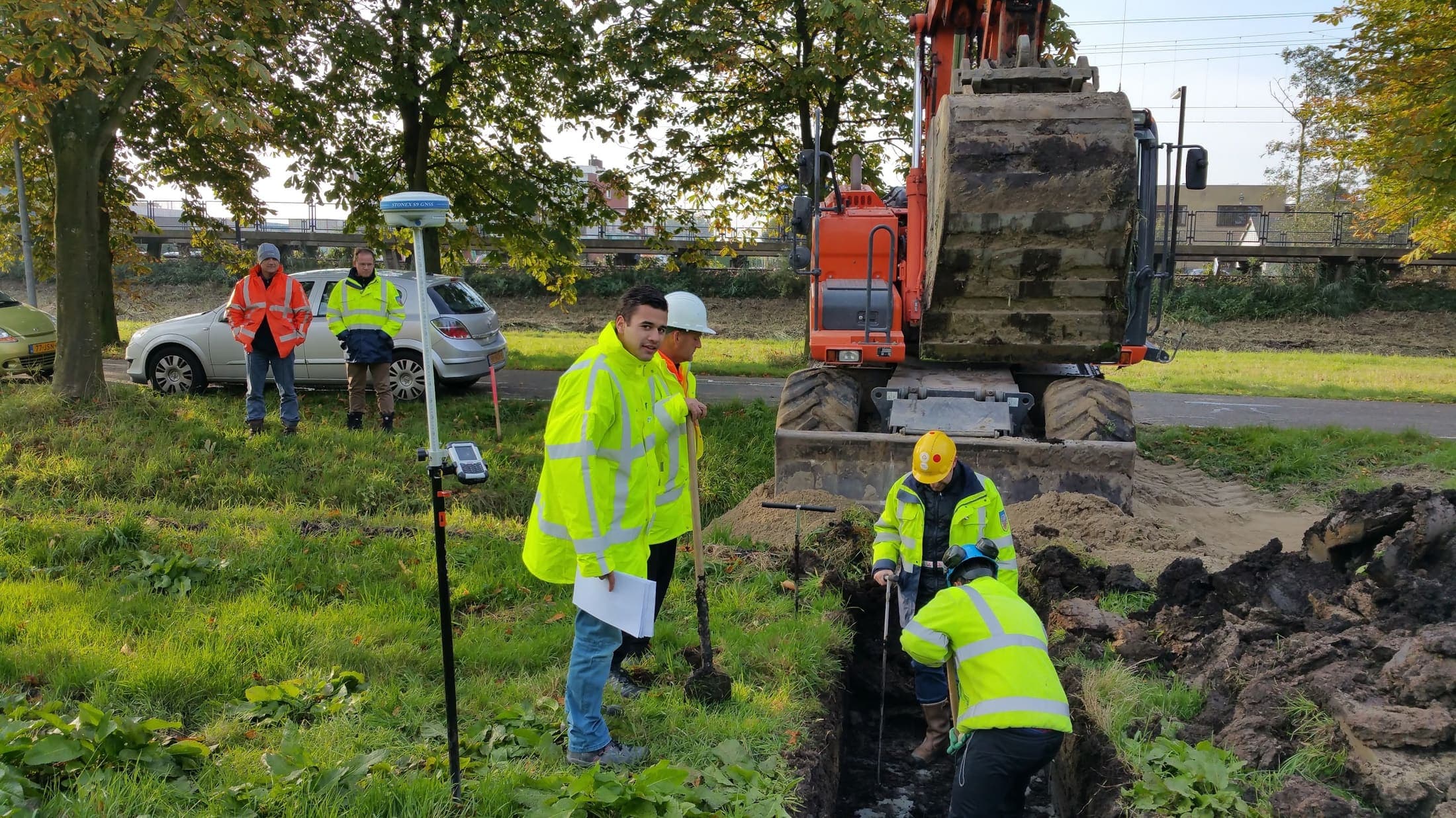
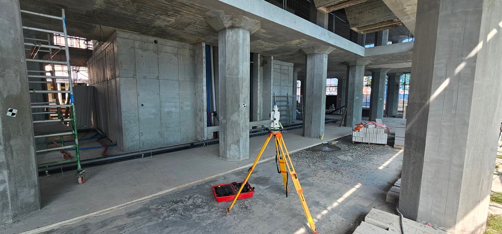
What is 3D laser scanning and when should you use it?
3D laser scanning captures an existing situation as millions of points in a few hours. Read when it is the smartest choice.
Read more
Industry
20 February 2026 · 6 min read
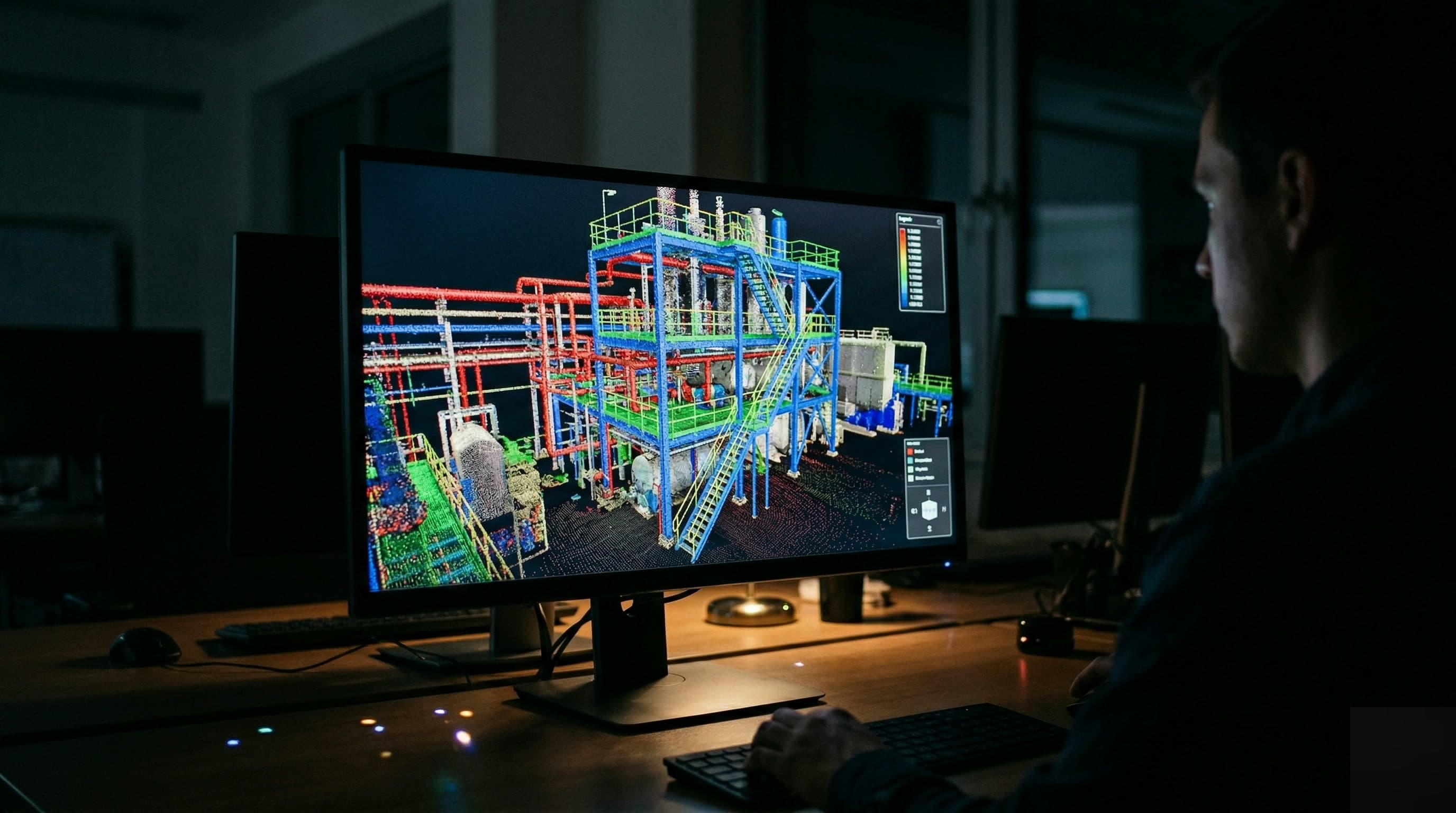
Dimensional control in petrochemicals: why accuracy decides everything
In a refinery a measurement error costs more than time and money. Read why industrial survey work differs from standard land surveying.
Read more
Drafting
28 January 2026 · 7 min read
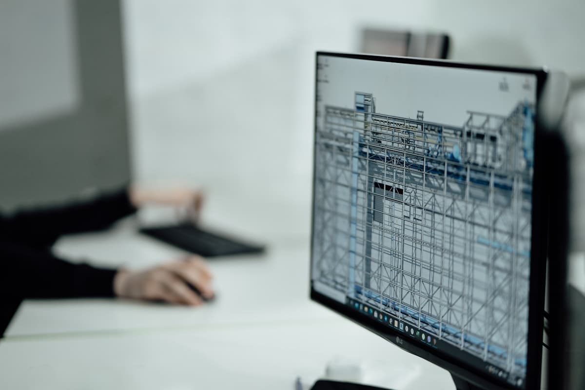
From pointcloud to BIM model: the Scan-to-BIM workflow
A 3D scan delivers a pointcloud. Read how millions of points become a usable BIM model in Revit or Civil 3D, step by step.
Read more
Civil
10 January 2026 · 5 min read
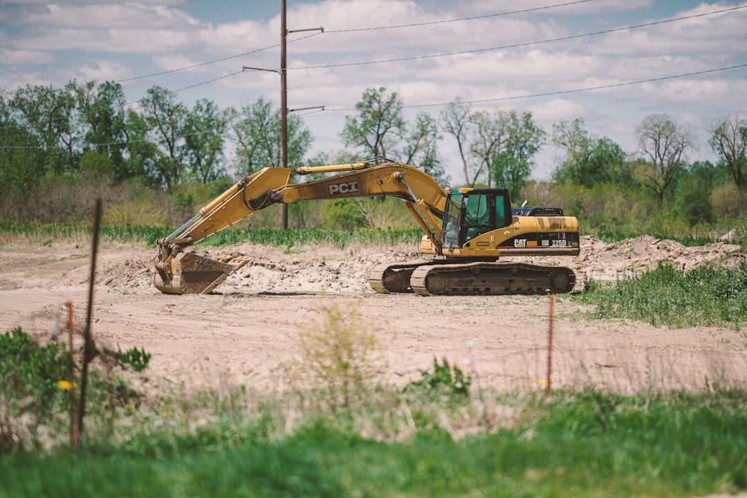
Machine control in earthworks: what it is and what it delivers
Excavators and bulldozers work to centimeter accuracy from a digital ground model, without stakes. Read what machine control delivers on site.
Read more