Civil land surveying and GPS measurement.
Land surveying, elevation surveys, GPS and cadastral services. Dutch Survey BV provides the surveying foundation for construction and infrastructure projects across the Netherlands.
Surveying that makes building possible.
Every construction project starts with accurate survey data. Elevation differences, boundaries, coordinates: errors in the measurement phase cost time and money later. Dutch Survey BV provides the surveying foundation your project is built on.
From the Maasvlakte to the Groene Hart. We support contractors, municipalities, water boards and project developers with reliable civil surveying. Quickly deployed, clearly delivered.
Civil services.
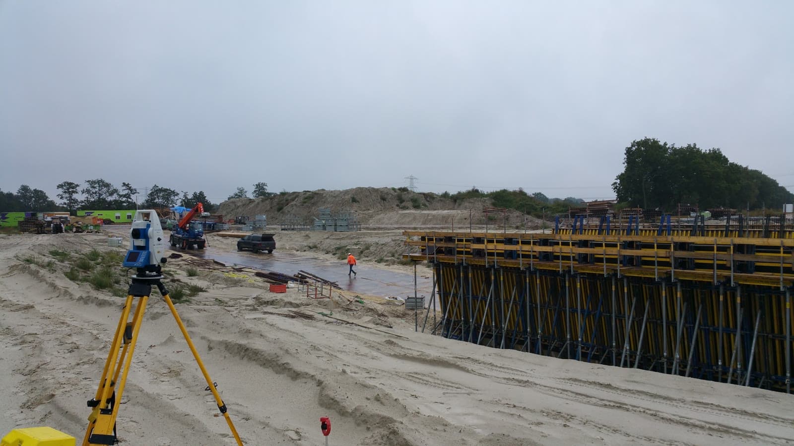
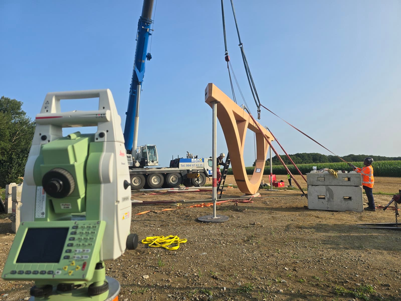
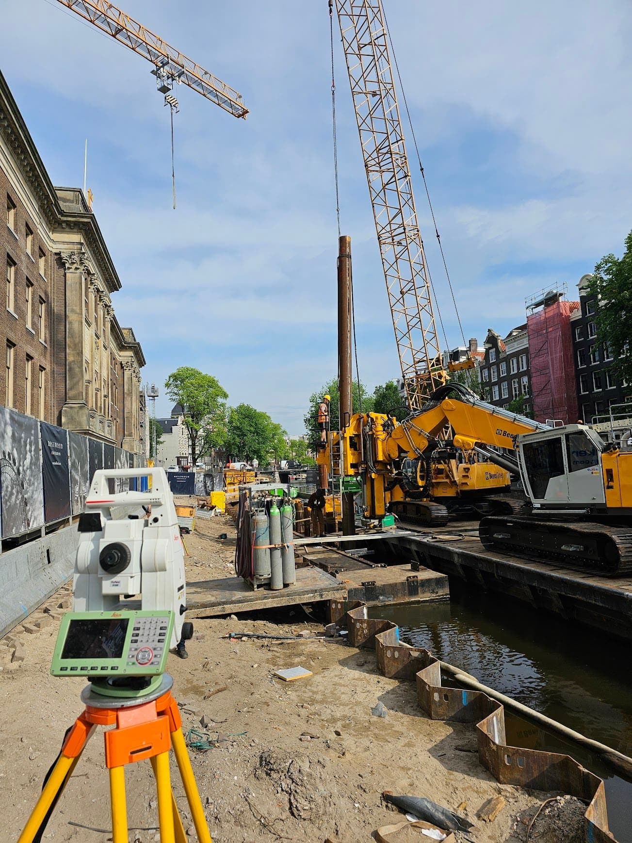
Land Surveying
Lay the geodetic foundation for your project. From site survey and topography to setting out, so your construction team can get started immediately.
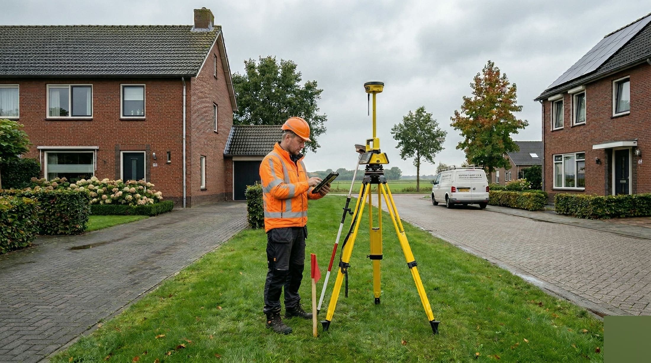
GPS Surveying
Survey large areas quickly and accurately using RTK satellite corrections. Ideal for infrastructure projects and setting out in open terrain.
Precision Leveling
Get reliable elevation data accurate to a tenth of a millimeter. For foundations, floors and structural calculations, referenced to NAP.
As-built Verification
Verify that everything is where it should be. As-built measurements make deviations immediately visible so you can adjust in time.
Cadastral Surveying
Know exactly where your boundaries lie. Cadastral surveying and boundary reconstruction in line with the requirements of the Dutch Land Registry.
Site Surveys
Capture existing situations down to the millimeter. Ideal for renovation, conversion or whenever you need up-to-date technical documentation.
NDM Surveys
Capture the exact position and elevation of surrounding buildings relative to NAP. Mandatory baseline measurements for sheet piling, dewatering and preloading.
From the field.

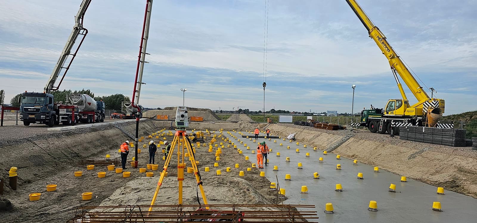
Road Reconstruction Maasvlakte
Survey work for the construction of a new T-junction beneath the Antarcticaweg, including 3x2 metre utility ducts for Neste.
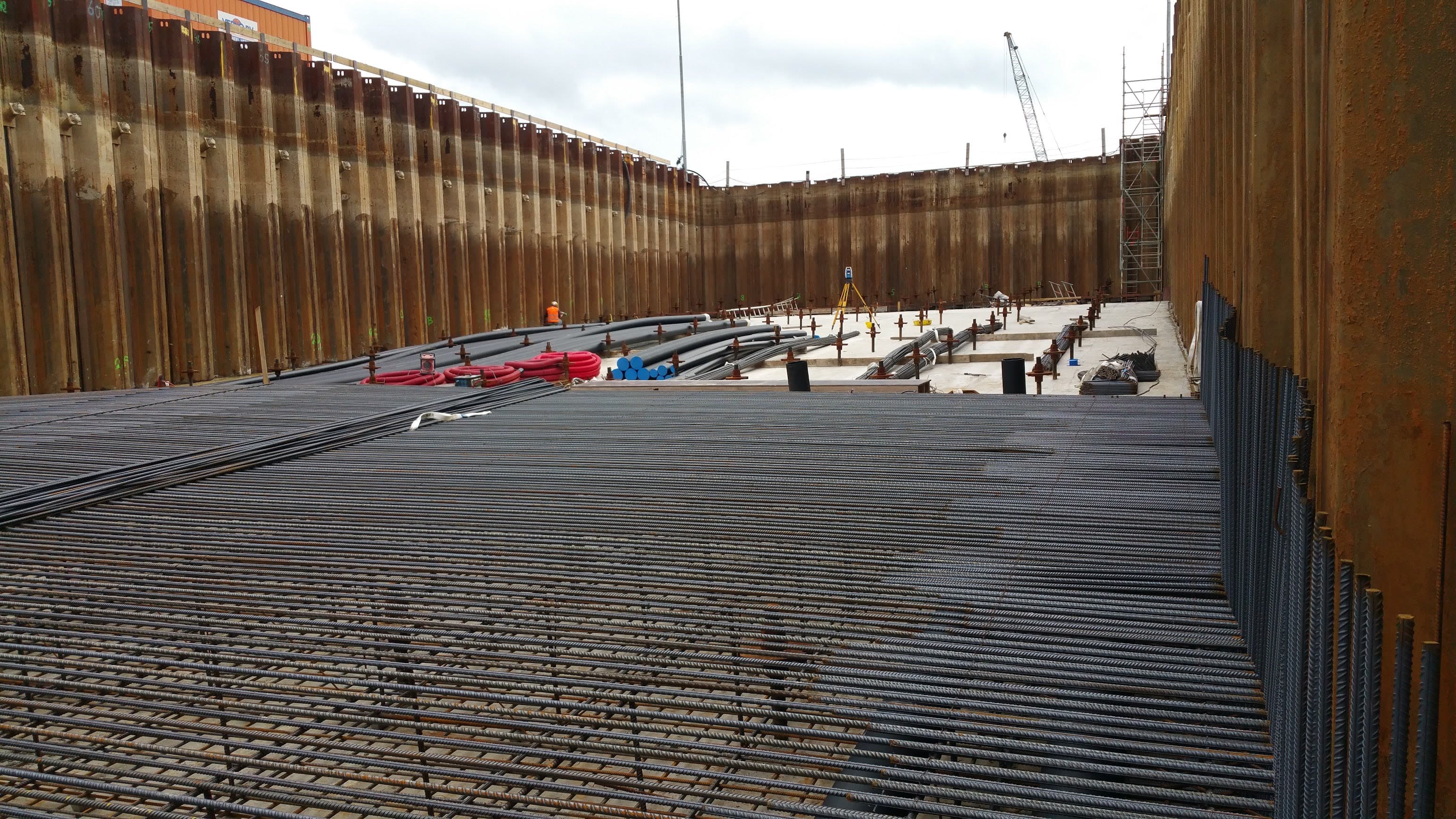
APM Terminals Maasvlakte II
Civil survey work for the expansion of APM Terminals Maasvlakte II. Dimensional control for paving, foundations and crane rails on a 51 hectare site.
Need surveying for your civil project?
Get in touch for a no-obligation conversation. We are happy to think along about the right surveying approach.