NDM Surveys
Recording position and elevation on high-risk projects
What is settlement monitoring on a construction site?
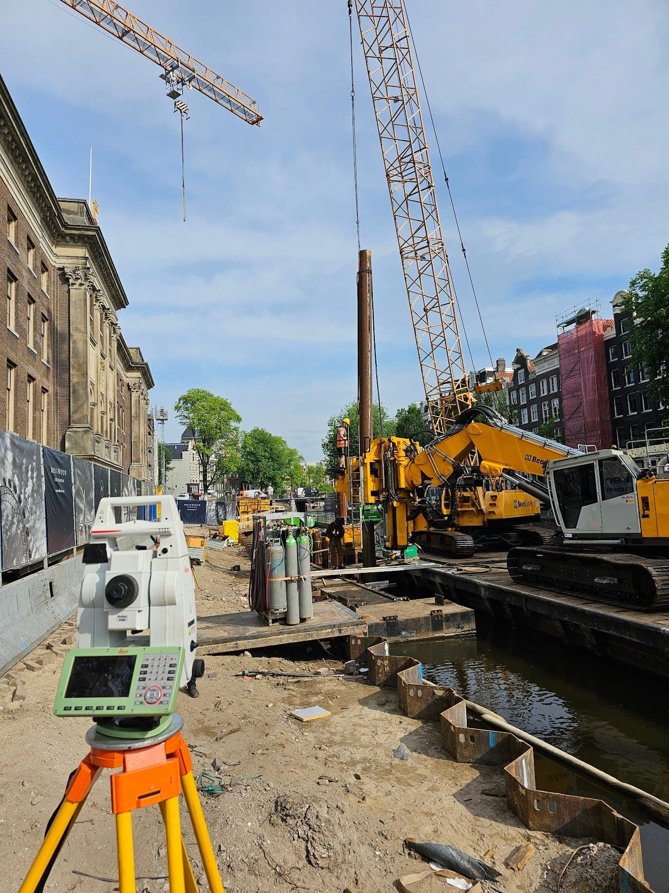
For construction projects involving preloading, sheet piling or dewatering, the positions and elevations of surrounding buildings must be recorded with precision. In an NDM survey we determine the X, Y and Z coordinates of all relevant objects relative to NAP (Normaal Amsterdams Peil, the Dutch national height reference). This provides a reliable reference to detect any later movement.
Equipment & software
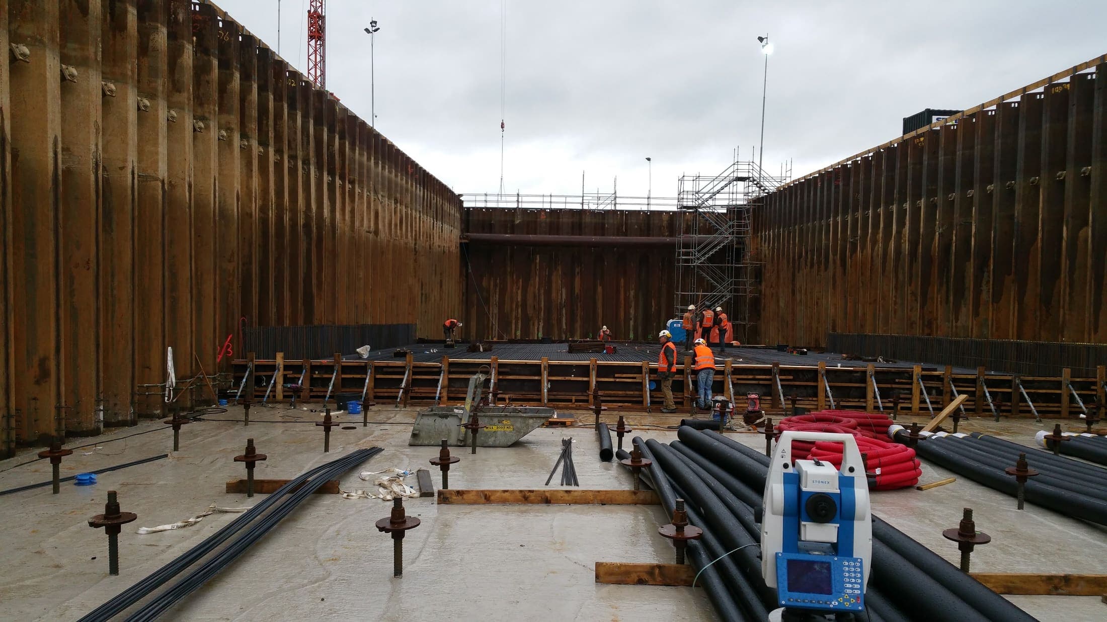
- Precision leveling instrument
- Measurement bolts
- Leica DNA03
The baseline survey as the reference for every later round
The process starts with a baseline measurement: the exact position and elevation of all relevant buildings and structures in the project area is recorded. This baseline is the reference. During periodic re-measurements we compare new values with the baseline to determine whether any height differences have occurred.
Ground settlement risk from sheet piling and dewatering
Not every project carries a risk of settlement. The risk rises with preloading, with installing or extracting sheet piles and with dewatering, because the groundwater level changes. Heavy earthworks directly next to existing buildings count as well. On those projects we measure the elevation of the surrounding buildings before, during and after the work, so that settlement becomes visible before it turns into damage.
How does this differ from a pre-construction condition survey?
A pre-construction condition survey records the visible condition of a building. An NDM survey is a geodetic measurement: we record to the millimeter at which elevation a building stands relative to NAP, so that later settlement can be established. Clients often commission both: the condition survey for the damage record, the NDM survey for the elevation.
When Dutch municipalities require an NDM survey
NDM surveys are mandatory in many Dutch municipalities for high-risk projects. We perform the measurements in line with applicable guidelines and deliver reports that meet the requirements of clients and authorities.
What you receive after the baseline and final survey
Baseline measurement of all objects in the project area
Periodic elevation measurements in line with guidelines
Alerts when threshold values are exceeded
Final report comparing baseline and final measurement
Frequently asked questions about NDM surveys
The most asked questions about NDM Surveys. Question not listed? Feel free to get in touch.
Many municipalities require NDM for projects involving preloading, sheet pile work, dewatering or heavy earthworks near existing buildings. The exact requirement varies per municipality and project.
NDM focuses specifically on elevation differences for buildings within a project area, often as a condition of a building permit. Deformation monitoring is broader and also measures horizontal displacements of structures, dikes and other objects.
Preloading (raising terrain), installing sheet piles, dewatering (lowering groundwater) and heavy earthworks. These activities can cause surrounding buildings to shift in elevation.
The field survey is processed the same day. When threshold values are exceeded we contact you immediately. The formal report follows within a few working days.
“We are very satisfied with the dimensional control service across various projects. From the very first contact, communication has run smoothly.”
“Michael had everything worked out the day before and was able to come the very next day. Delivers good work and is professional. We are very satisfied.”
“The dimensional control service was excellent. The team delivered accurate and timely results, which kept the project running smoothly.”
Services that often go with settlement monitoring
Deformation Monitoring
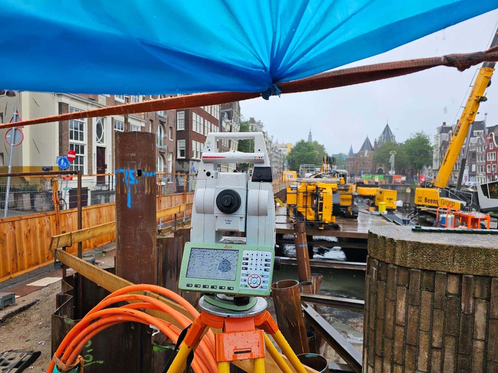
Detect settlement before damage occurs. Periodic measurements at quay walls, bridges and industrial structures give you timely insight.
Precision Leveling
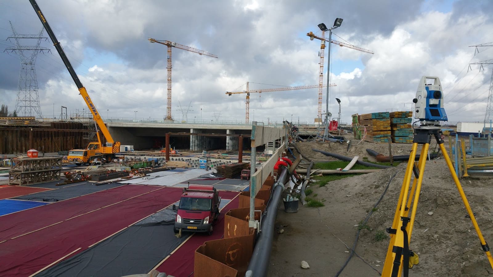
Get reliable elevation data accurate to a tenth of a millimeter. For foundations, floors and structural calculations, referenced to NAP.
24/7 Monitoring
Keep watch over your project day and night without anyone on site. Immediate alerts on deviations, continuous insight into movement.
Request a quote for NDM Surveys
Answer three short questions and leave your details. You usually get a response within 24 hours, on business days.
No-obligation advice on the approach for your project. Usually a response within 24 hours.