Precision Leveling
Elevation precision down to a tenth of a millimeter
Get reliable elevation data accurate to a tenth of a millimeter.
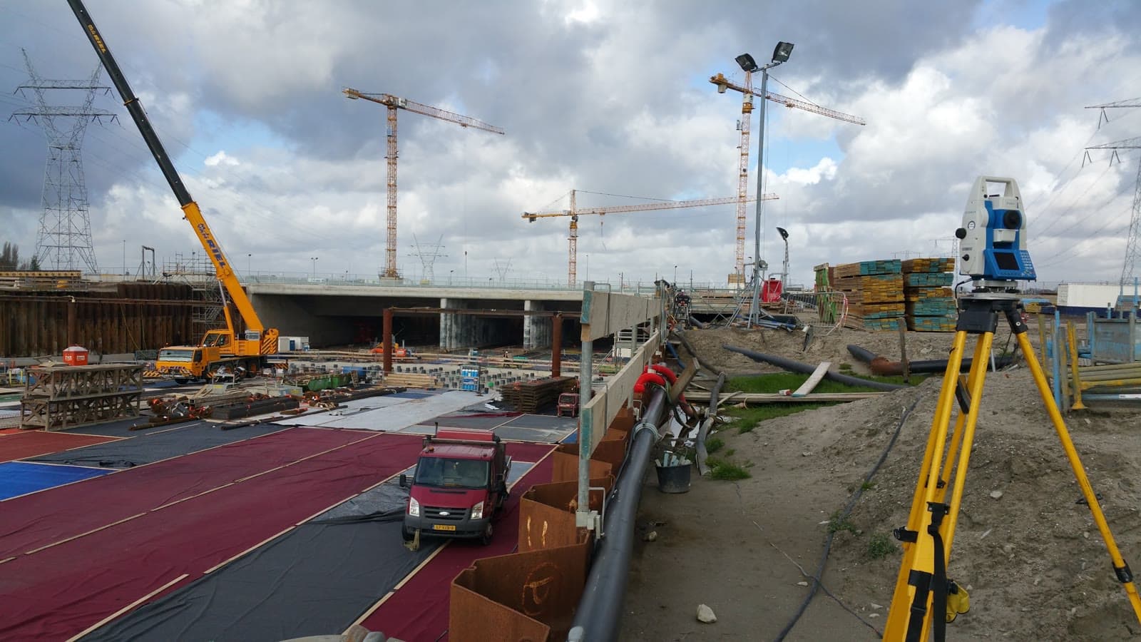
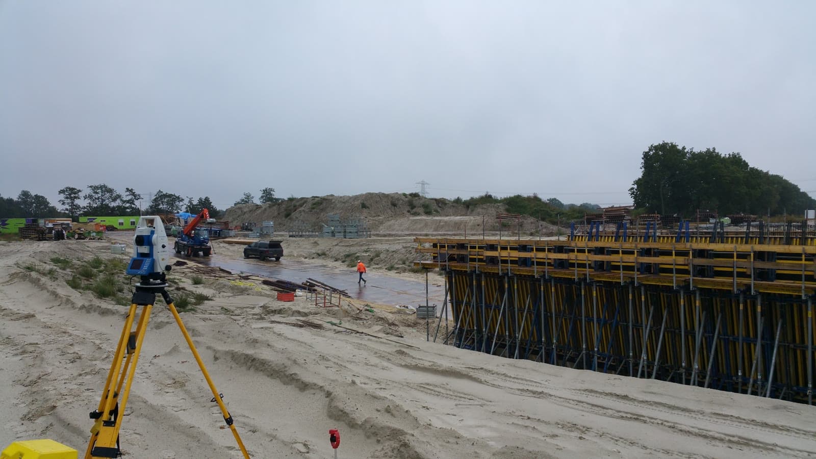
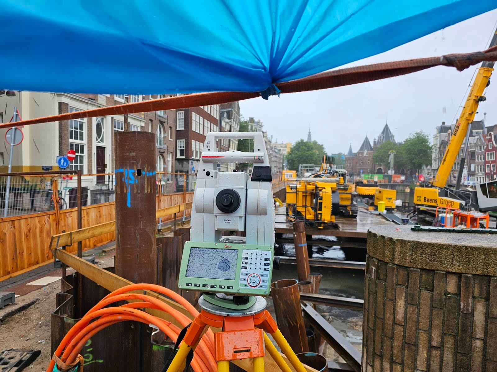
In a country where large parts lie below sea level, reliable elevation measurements are essential. Whether it is a foundation check, a floor flatness measurement or settlement monitoring: the elevation has to be right, down to a tenth of a millimeter.
We perform precision leveling in line with the Normaal Amsterdams Peil (NAP, the Dutch national height reference). By tying our measurements to NAP benchmarks in the area, we guarantee that your elevation data fits the national reference system. That is essential for permits, structural calculations and preventing flooding.
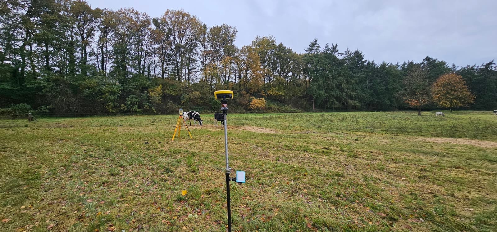
Besides precise leveling (the most accurate method) we also deploy trigonometric height measurements and GNSS, depending on the required accuracy and the situation on site.
Equipment & software
What you can expect.
Precision leveling (0.1mm accuracy)
NAP referencing
Settlement measurements
Floor verification and flatness measurements
FAQ.
The most asked questions about Precision Leveling. Question not listed? Feel free to get in touch.
NAP (Normaal Amsterdams Peil) is the national reference level for elevations in the Netherlands. Tying measurements to NAP makes them comparable with other projects and usable for permits and structural calculations.
With our digital leveling instrument (Leica DNA03) we achieve an accuracy of 0.1mm per kilometer double-leveled. This is the most accurate method for elevation measurements.
For foundation work, floor verification, settlement monitoring, dike inspections and any project where elevation relative to NAP is relevant. Also for determining drainage levels and sewer connections.
Precise leveling is the most accurate method (0.1mm). GPS elevation measurements are faster but less accurate (2 to 3cm). For foundations and precision work we use leveling. For terrain surveys, GPS is often sufficient.
“We are very satisfied with the dimensional control service across various projects. From the very first contact, communication has run smoothly.”
“Michael had everything worked out the day before and was able to come the very next day. Delivers good work and is professional. We are very satisfied.”
“The dimensional control service was excellent. The team delivered accurate and timely results, which kept the project running smoothly.”
Related services.
Deformation Monitoring
Detect settlement before damage occurs. Periodic measurements at quay walls, bridges and industrial structures give you timely insight.
As-built Verification
Verify that everything is where it should be. As-built measurements make deviations immediately visible so you can adjust in time.
Land Surveying
Lay the geodetic foundation for your project. From site survey and topography to setting out, so your construction team can get started immediately.
More about Precision Leveling?
We are happy to discuss the options for your project. Reach out to Michael for personal advice, no strings attached.
No-obligation advice on the approach for your project. Usually a response within 24 hours.