Land Surveying
Every project starts with a solid measurement
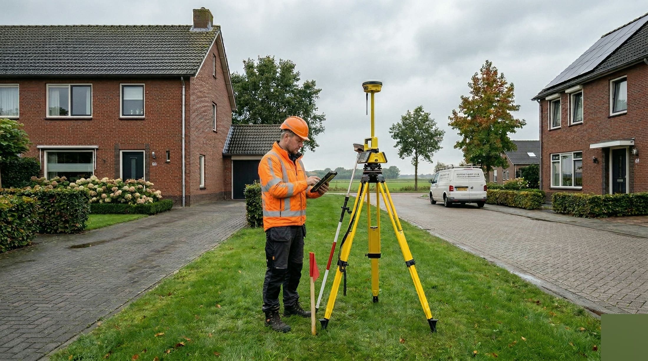
Lay the geodetic foundation for your project.
Every construction or infrastructure project begins with a question: what is the current situation and where does what need to go? Land surveying answers that question. We map terrains, plots and project sites with precision and deliver the geodetic data you need for design, permits and execution.
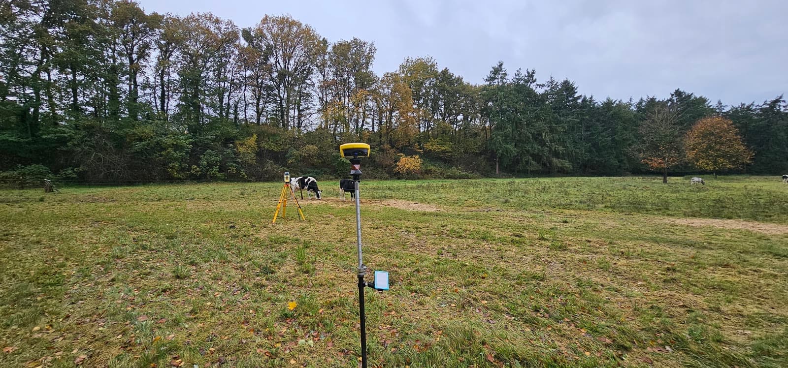
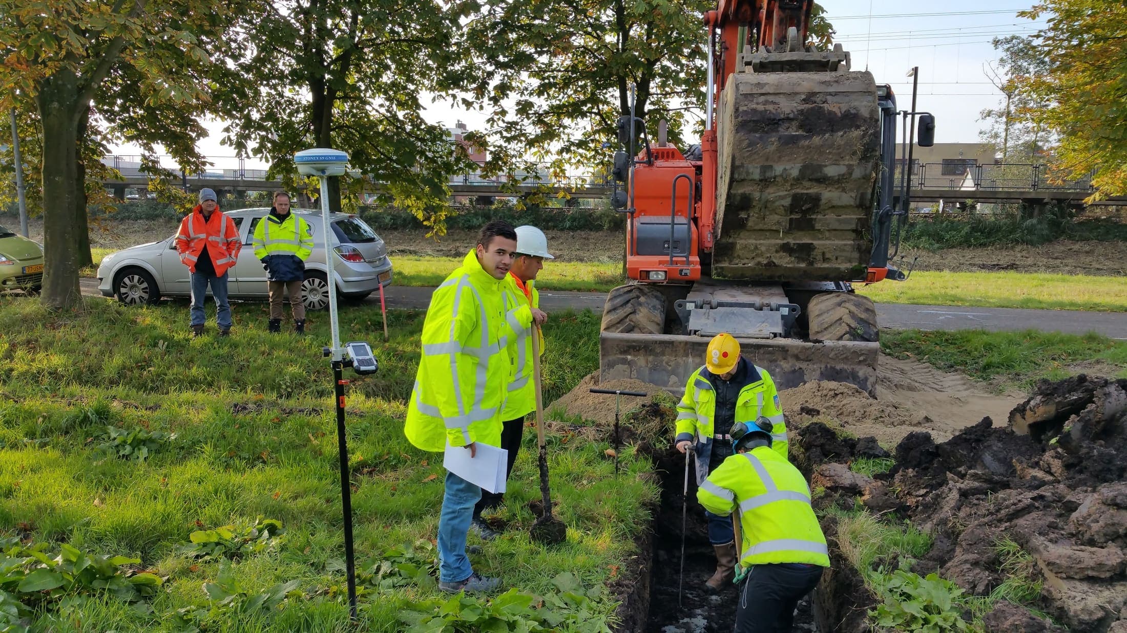
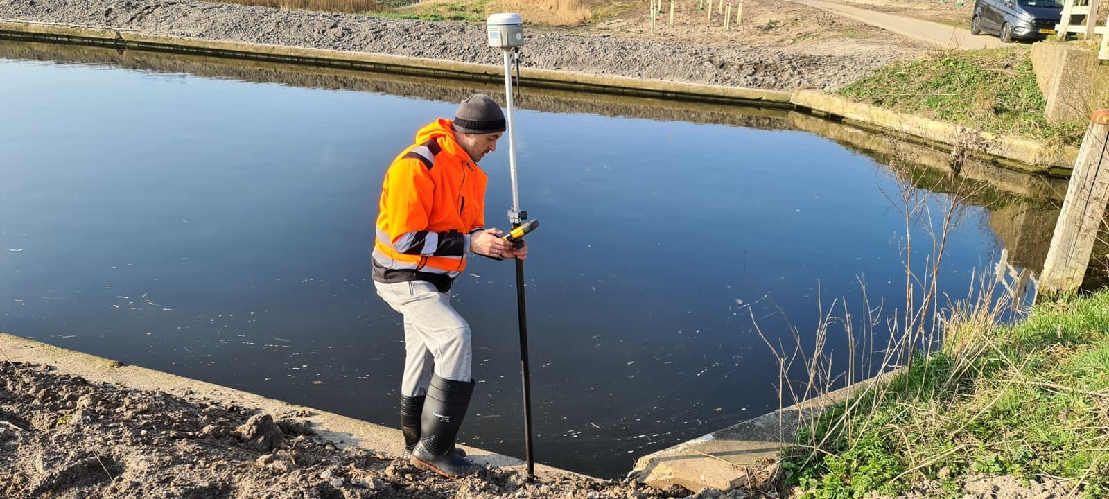
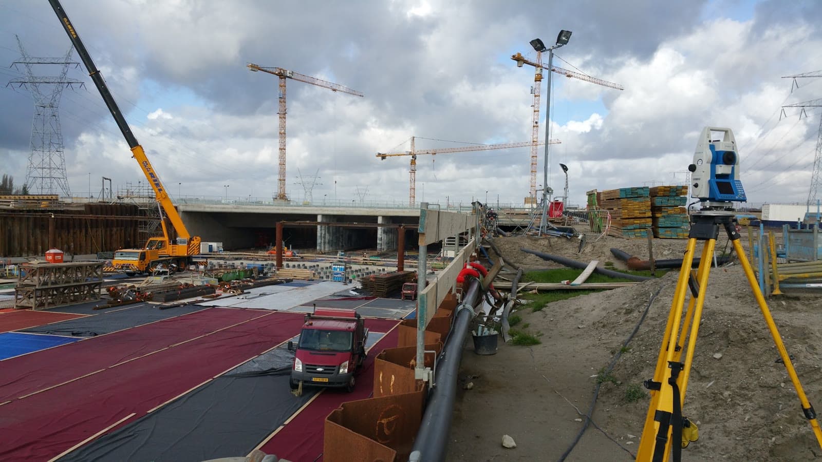
With GNSS technology and robotic total stations we work fast and accurately, whether it concerns a small plot or a large industrial site. The measurement data is processed into digital files that are immediately usable in your CAD or GIS environment.
Topographic measurements are an important part of our land surveying work. We accurately map all objects, contour lines, paving, vegetation and infrastructure. Objects are classified in line with IMGEO (the Dutch Basic Registration of Large-Scale Topography), so the data fits public-sector standards directly and is usable for permit applications.
We perform land surveying work for contractors, project developers and government bodies. From site surveys and terrain measurements to setting out complete construction sites.
Equipment & software
What you can expect.
Topographic surveys and terrain modeling
Elevation maps and contour lines
Object classification in line with IMGEO
Boundary reconstruction and setting out
Digital terrain models (DTM)
Volume calculations
FAQ.
The most asked questions about Land Surveying. Question not listed? Feel free to get in touch.
With a total station we achieve millimeter accuracy. With GNSS (GPS) the standard accuracy is 1 to 2 centimeters. The required accuracy depends on the purpose: cadastral surveys have different requirements than terrain measurements.
Standard items: buildings, paving (roads, paths, parking areas), vegetation, watercourses, fences, light posts, manholes and elevation points. On request we expand this with cables and pipelines, trees or other specific objects. Objects are classified in line with IMGEO.
A standard terrain survey of a construction site (up to 5,000m²) is done in half a day. A site of up to one hectare is usually surveyed in a day. Larger sites or detailed surveys can take several days.
Yes. GPS and total stations work in rain and wind without issues. In dense fog or heavy storms the line of sight for the total station can be limited. In that case we switch to GPS or reschedule the survey.
Standard in DWG (AutoCAD), but also DXF, shapefile, GML or PDF. We deliver in the format that fits your software and workflow.
“We are very satisfied with the dimensional control service across various projects. From the very first contact, communication has run smoothly.”
“Michael had everything worked out the day before and was able to come the very next day. Delivers good work and is professional. We are very satisfied.”
“The dimensional control service was excellent. The team delivered accurate and timely results, which kept the project running smoothly.”
Related services.
GPS Surveying
Survey large areas quickly and accurately using RTK satellite corrections. Ideal for infrastructure projects and setting out in open terrain.
Precision Leveling
Get reliable elevation data accurate to a tenth of a millimeter. For foundations, floors and structural calculations, referenced to NAP.
Cadastral Surveying
Know exactly where your boundaries lie. Cadastral surveying and boundary reconstruction in line with the requirements of the Dutch Land Registry.
More about Land Surveying?
We are happy to discuss the options for your project. Reach out to Michael for personal advice, no strings attached.
No-obligation advice on the approach for your project. Usually a response within 24 hours.