Cadastral Surveying
Knowing where your boundary lies
Know exactly where your boundaries lie.
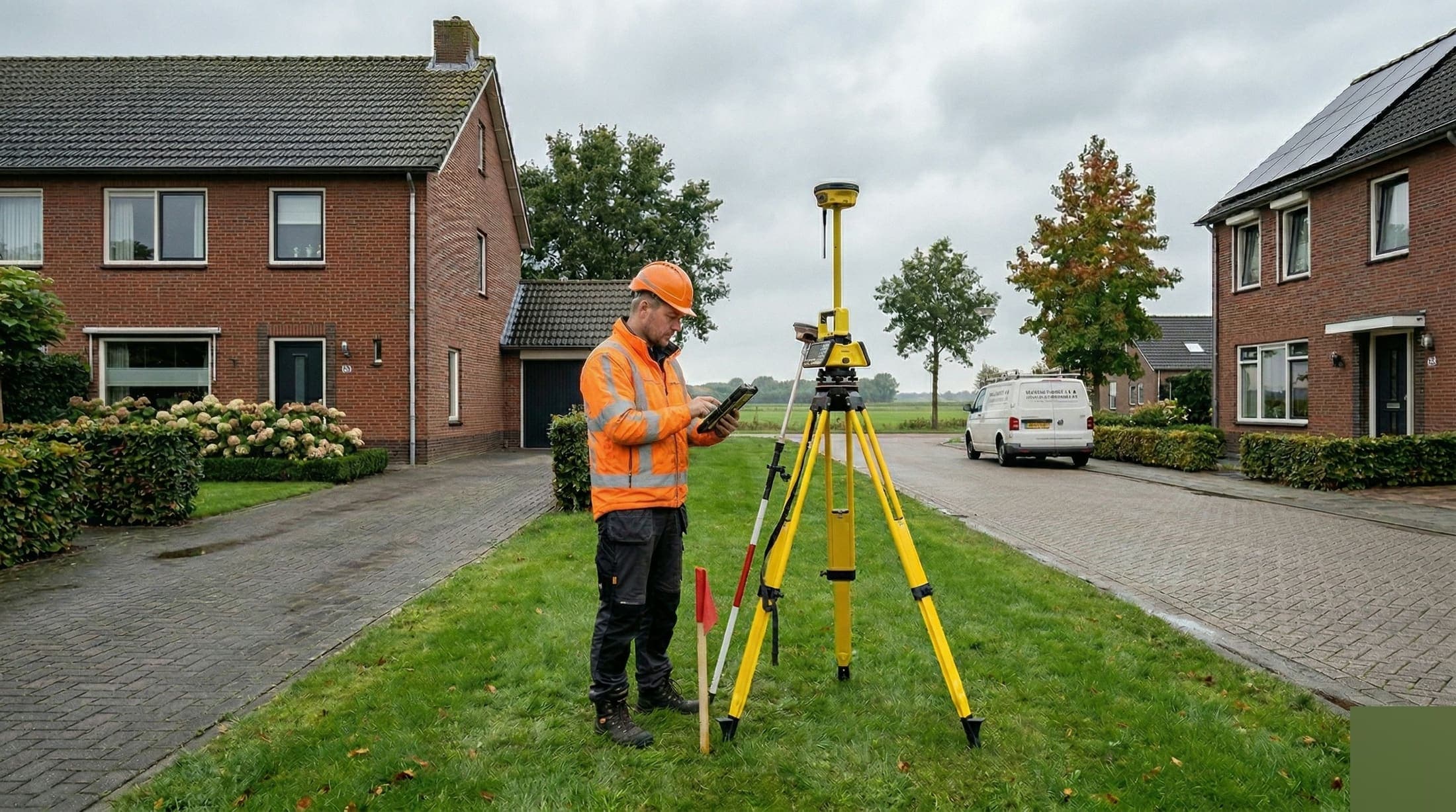
Uncertainty about parcel boundaries leads to disputes with neighbors, problems with building permits and delays in land transactions. Cadastral surveys provide that clarity: we determine the exact boundaries of your plot based on cadastral records.
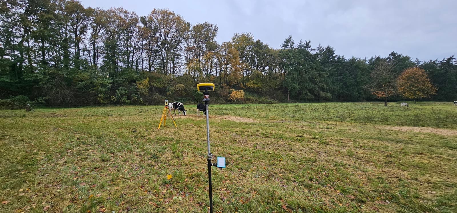
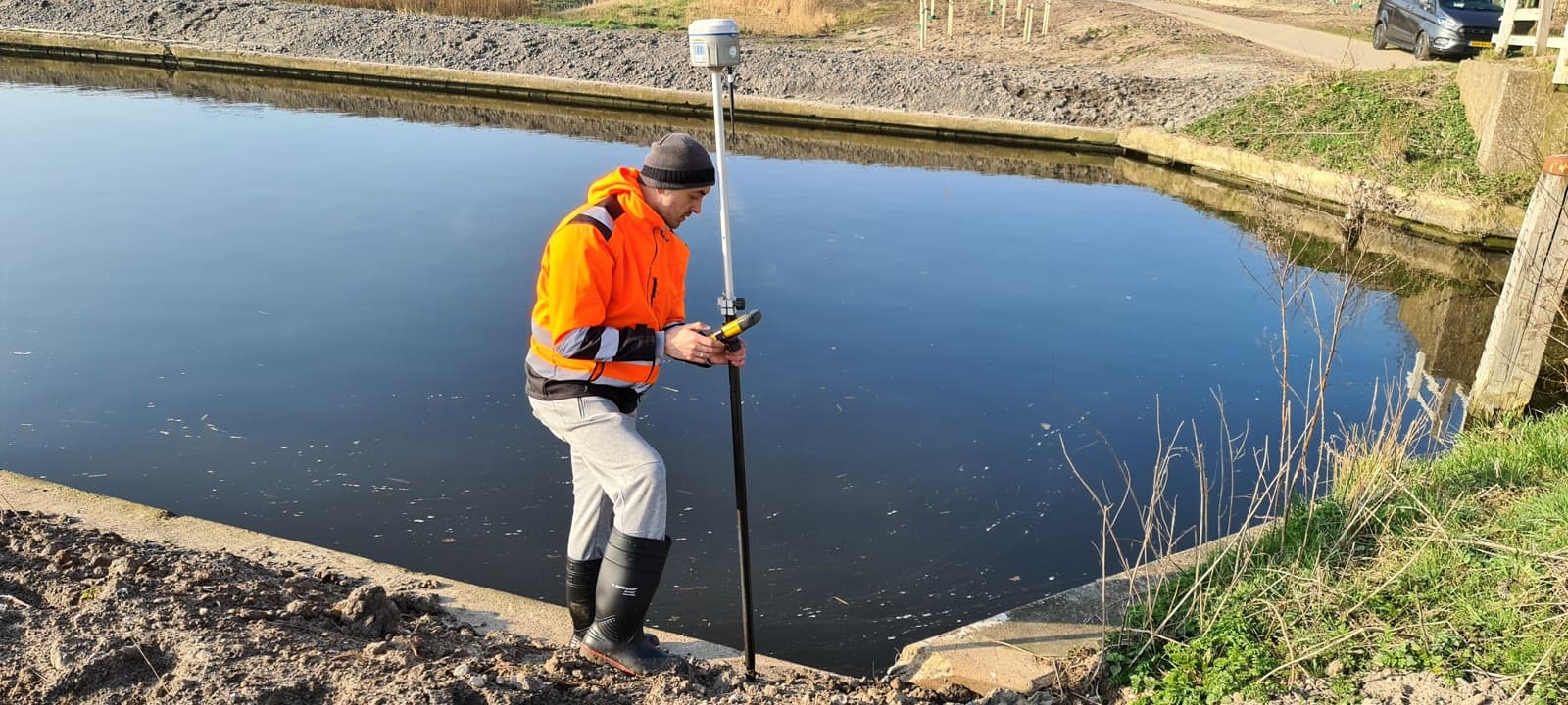
We perform boundary reconstructions in the field, set out parcel boundaries with stakes and handle the full process with the Dutch Land Registry. For the splitting or merging of plots we deliver the required drawings and documentation.
Our measurements meet the requirements of the Land Registry. The results are usable for registration, building permits, property line agreements and zoning plan changes.
Equipment & software
What you can expect.
Boundary reconstruction
Setting out parcel boundaries
Cadastral splitting and merging
Situation drawings for permits
FAQ.
The most asked questions about Cadastral Surveying. Question not listed? Feel free to get in touch.
The field survey itself usually takes half a day. Processing and any registration with the Land Registry takes 1 to 2 weeks, depending on complexity.
Costs depend on the number of boundary points, the complexity of the situation and whether registration with the Land Registry is needed. We provide a quote upfront based on your situation.
The cadastral map provides an indication, but is not accurate enough for legal certainty. To set out boundaries in the field, a survey by a land surveyor is required.
In a boundary dispute we perform an objective boundary reconstruction based on cadastral records. The result is a factual survey report that can serve as the basis for discussion or legal proceedings.
Not always, but often. The municipality may require a situation drawing on a cadastral background. When building close to a parcel boundary, a boundary reconstruction is strongly recommended.
“We are very satisfied with the dimensional control service across various projects. From the very first contact, communication has run smoothly.”
“Michael had everything worked out the day before and was able to come the very next day. Delivers good work and is professional. We are very satisfied.”
“The dimensional control service was excellent. The team delivered accurate and timely results, which kept the project running smoothly.”
Related services.
Land Surveying
Lay the geodetic foundation for your project. From site survey and topography to setting out, so your construction team can get started immediately.
GPS Surveying
Survey large areas quickly and accurately using RTK satellite corrections. Ideal for infrastructure projects and setting out in open terrain.
Site Surveys
Capture existing situations down to the millimeter. Ideal for renovation, conversion or whenever you need up-to-date technical documentation.
More about Cadastral Surveying?
We are happy to discuss the options for your project. Reach out to Michael for personal advice, no strings attached.
No-obligation advice on the approach for your project. Usually a response within 24 hours.