Surveying &
3D scanning.
Precision where
it counts.
Dimensional control, 3D scanning and land surveying for industry, civil engineering and infrastructure. Active across the Netherlands. For projects where accuracy matters.
Specialist surveying.
From 3D scanning to automated monitoring. Every service aligned with the demands of industry.
 01
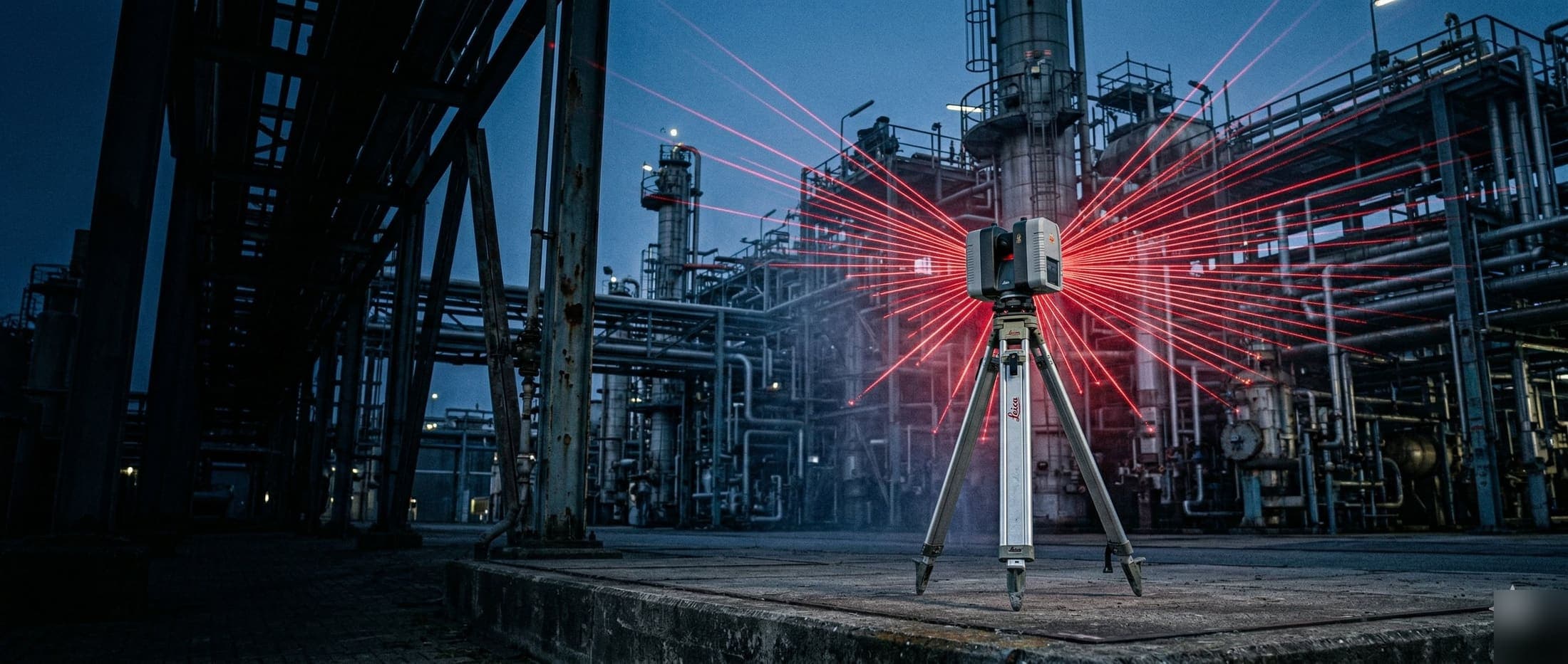
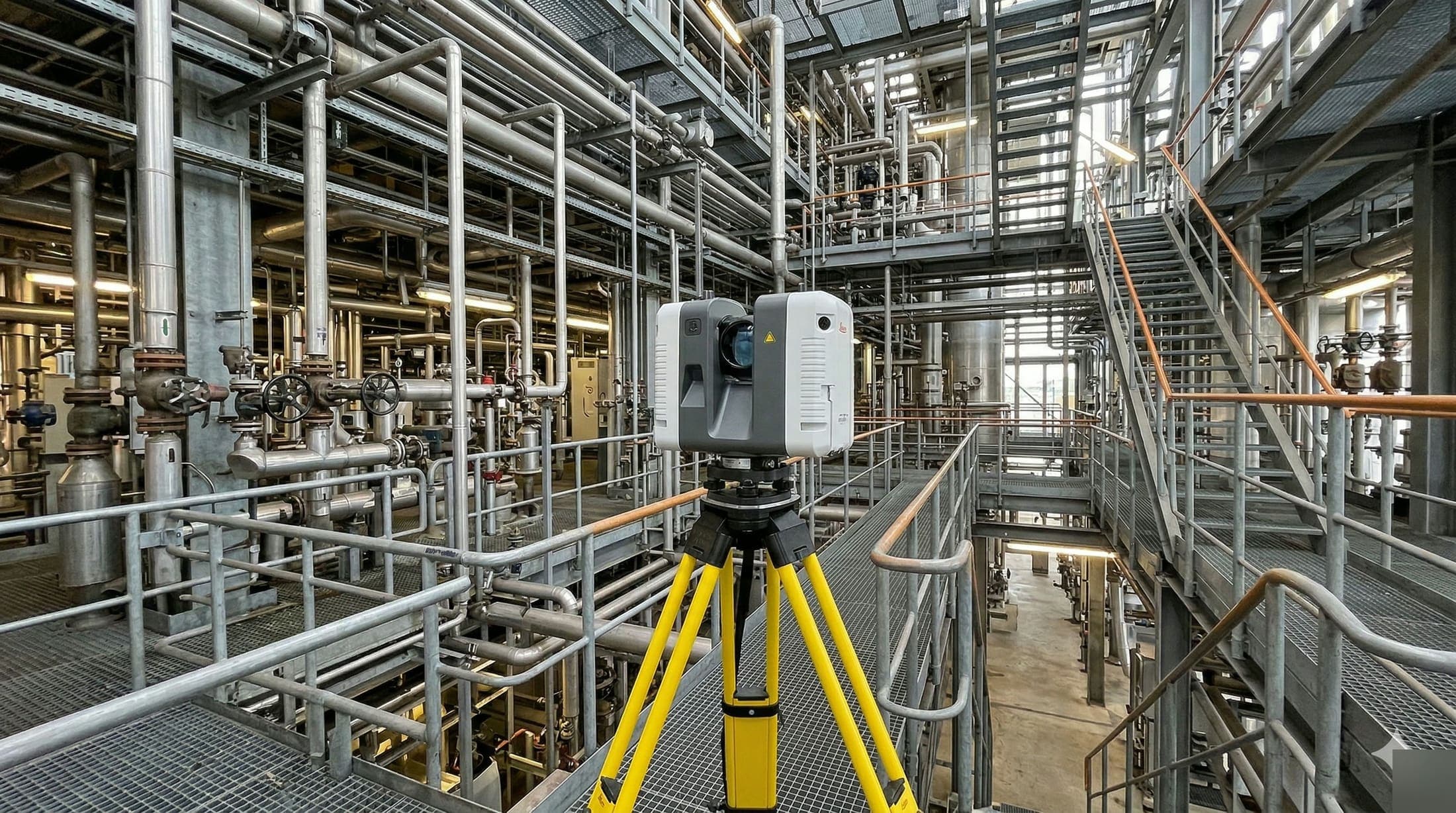
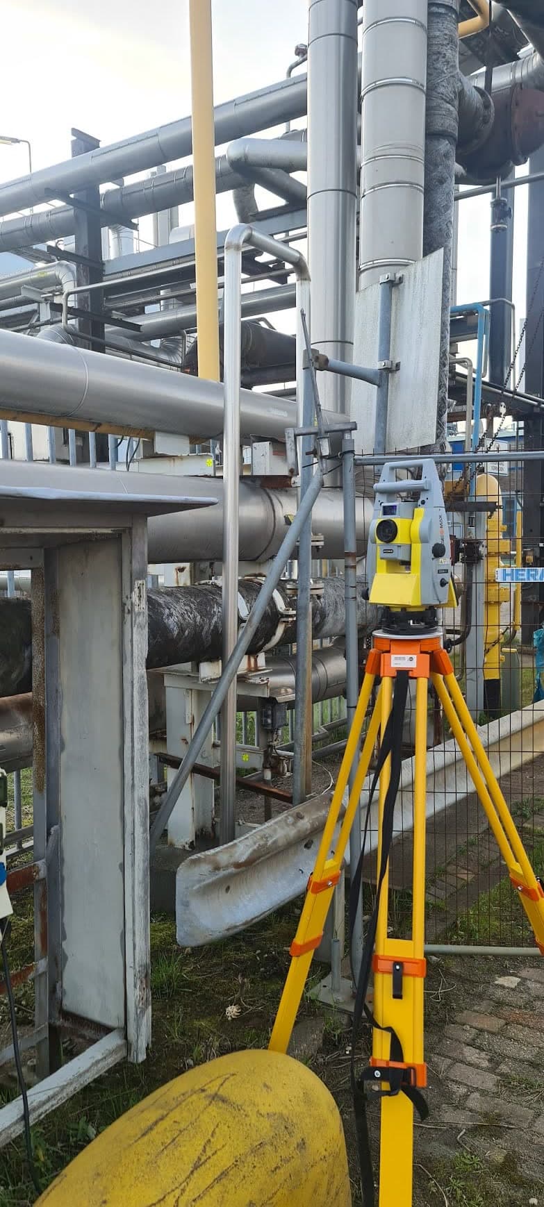
013D Scanning
Full digital capture of your installation, so engineering and maintenance work with up-to-date data. Point cloud directly usable for your BIM model.
 02
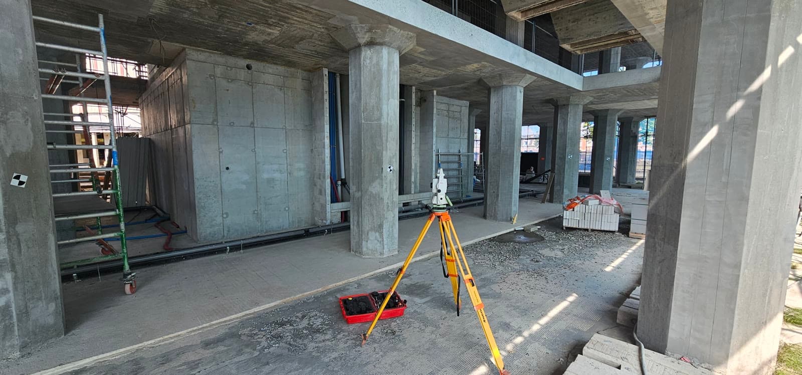
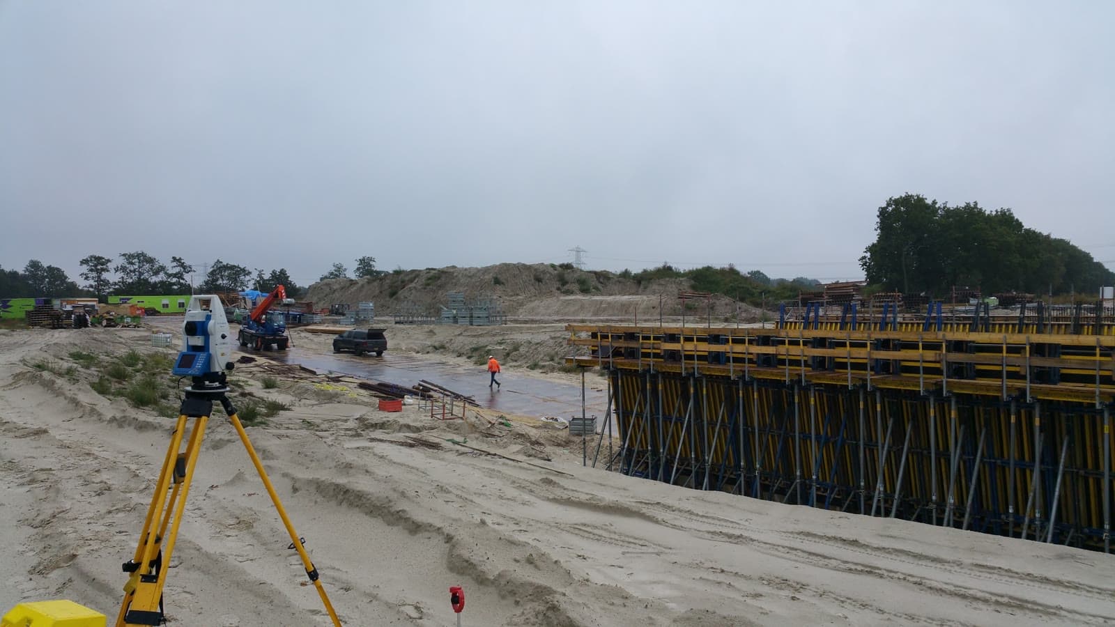
02Dimensional Control
Millimeter-accurate dimensional control aligned with your assembly schedule, so your contractor can start straight away.
 03
03Deformation Monitoring
Early insight into deformation and settlement, so you can intervene in time on structures and infrastructure.
 04
0424/7 Monitoring
Automated monitoring with realtime data and immediate alerts when threshold values are exceeded.
 05
05Utility Mapping
Accurate registration of cables and pipelines, so you can plan safe maintenance and prevent excavation damage.
 06
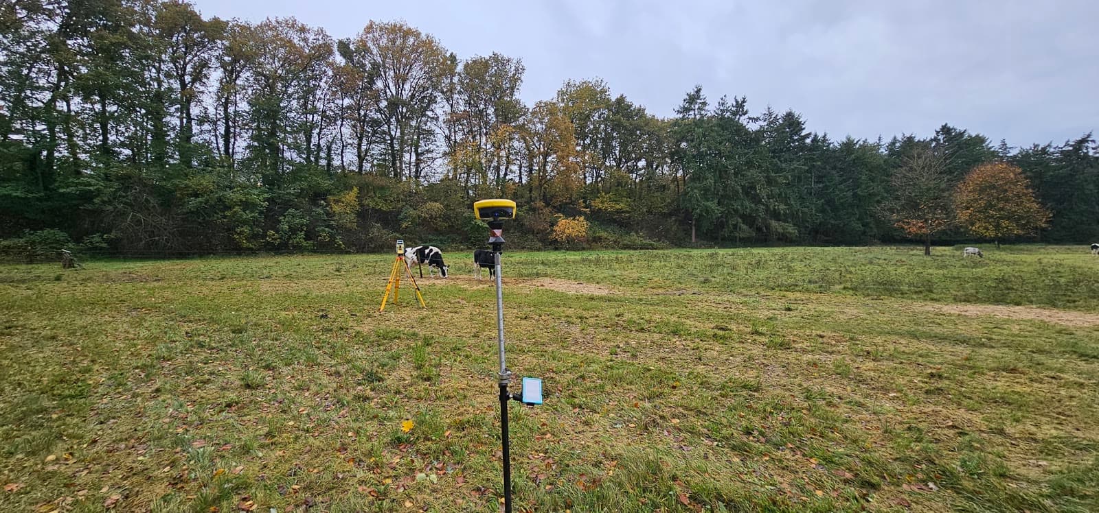
06Land Surveying
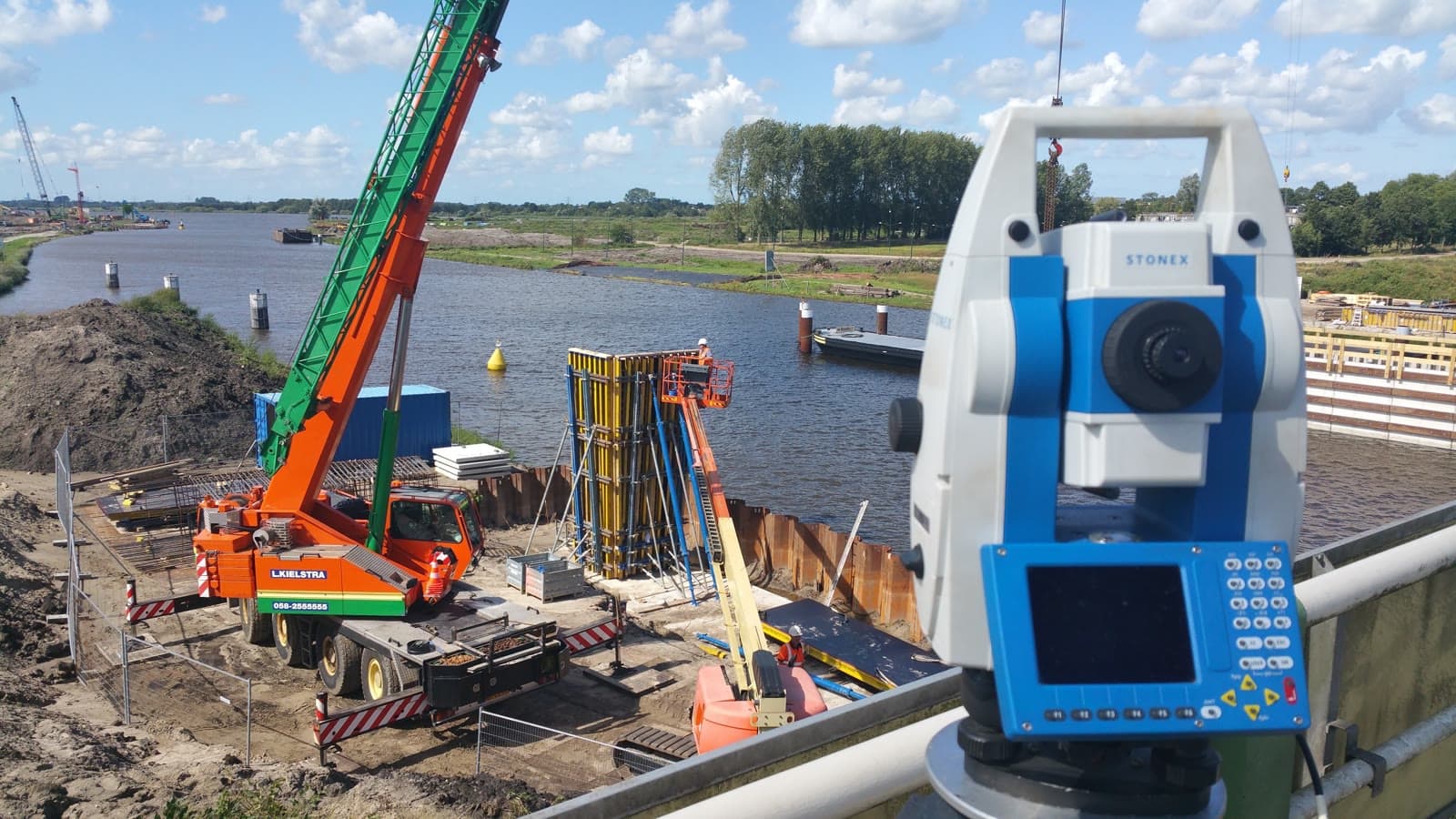
Topographic and geodetic measurements for industrial sites. GPS and total station, processed directly into usable data.
 07
07As-built Verification
As-built surveys and coordinate measurements for exact positioning. Documentation your engineering team can use directly.
 08
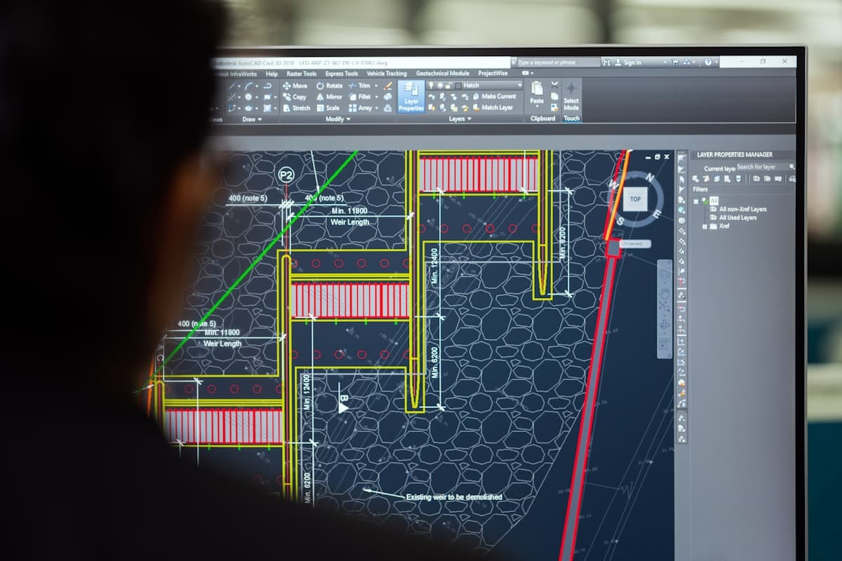
08Drafting / CAD
Processing of measurement data into technical drawings and CAD files. From point cloud to volume reports.
From measurement to assembly
We align every survey with your project. From the initial measurement to the final check, everything coordinated with your assembly schedule. That prevents downtime and on-site surprises.
One point of contact from start to finish.
No surprises
A clear quote up front, transparent reporting afterwards. You always know where you stand. On complex projects we plan checkpoints to prevent on-site surprises.
We do what we promise.
Direct lines
You speak directly to the surveyor on site. No call centres, no go-betweens. When urgency calls, we move fast, also outside office hours.
Quickly available, also outside office hours.
Experience in
complex projects.
Dutch Survey BV was founded by Michael van Drie, with more than ten years of experience in industrial surveying. What began as expertise in precision and engineering grew into a specialist surveying company active in the most demanding industries in the Netherlands.
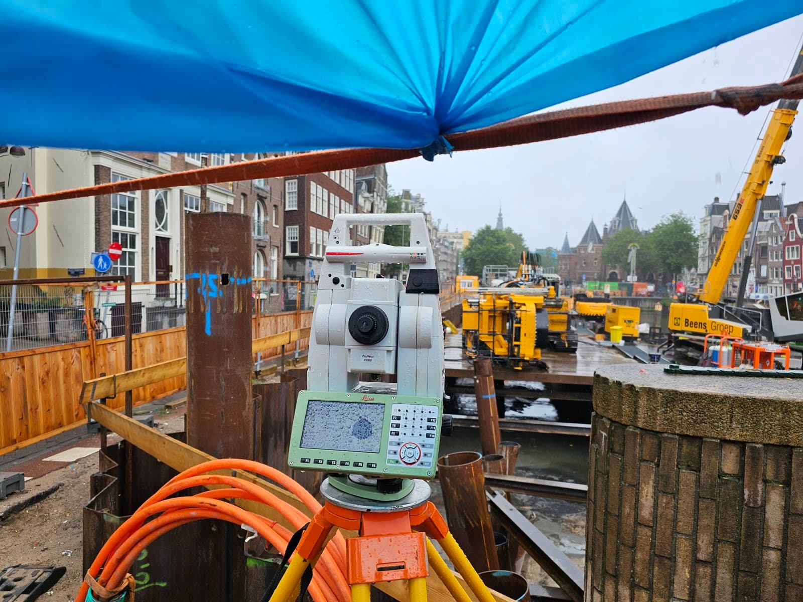
From petrochemical complexes in the Europoort to offshore platforms on the North Sea: we know the challenges of working under pressure. Tight deadlines, strict safety requirements and the need for millimetre accuracy. That is our daily practice.
Based in Alkmaar, active across the Netherlands and beyond. With our own Leica, GeoMax and NavVis equipment we are always quickly deployable, also for urgent projects outside office hours.
Recent projects.
From petrochemicals to civil engineering. A selection of recent assignments for clients such as Dura Vermeer and Strabag Züblin.
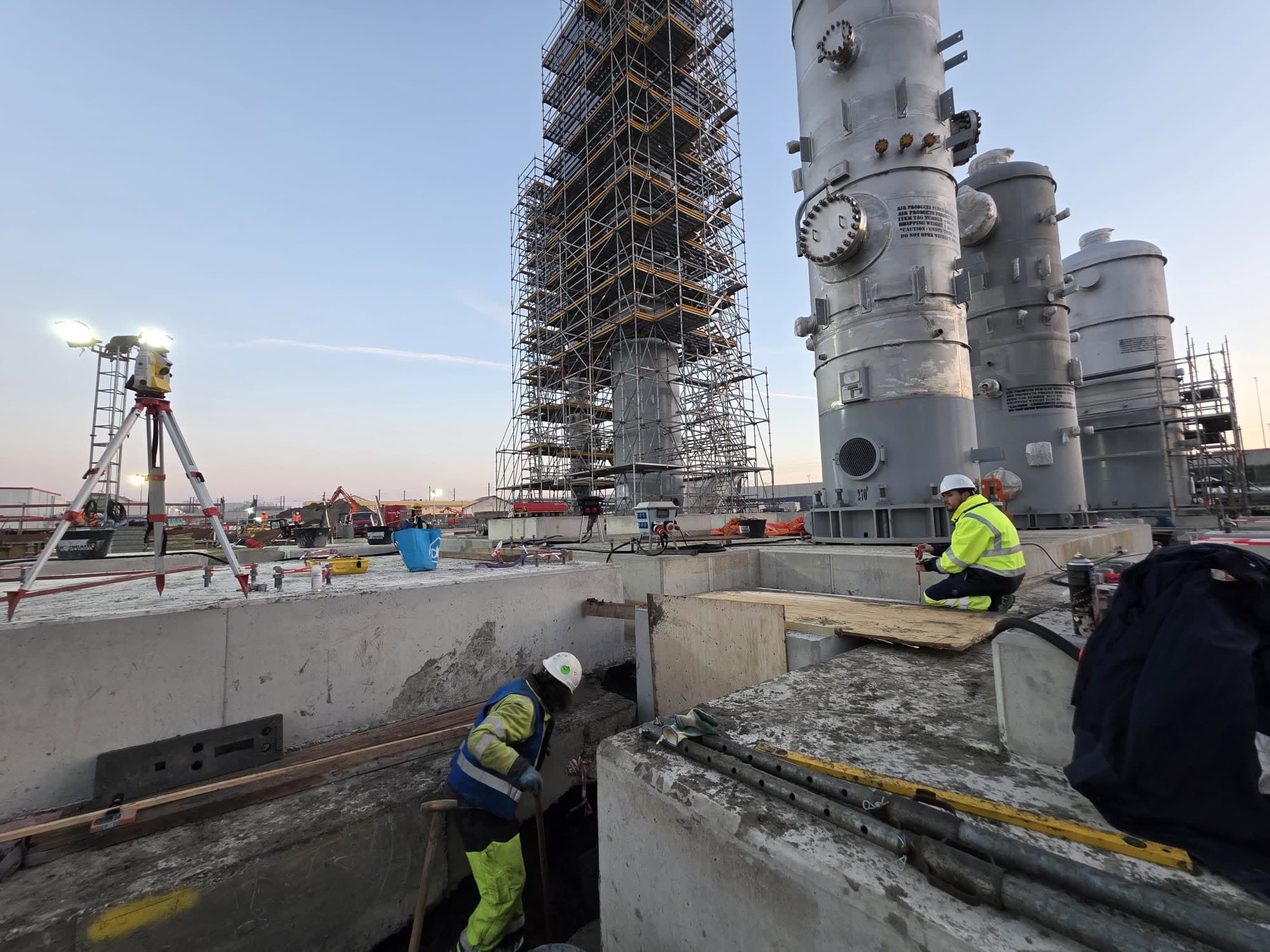
2nd Liquid Hydrogen Plant Rotterdam
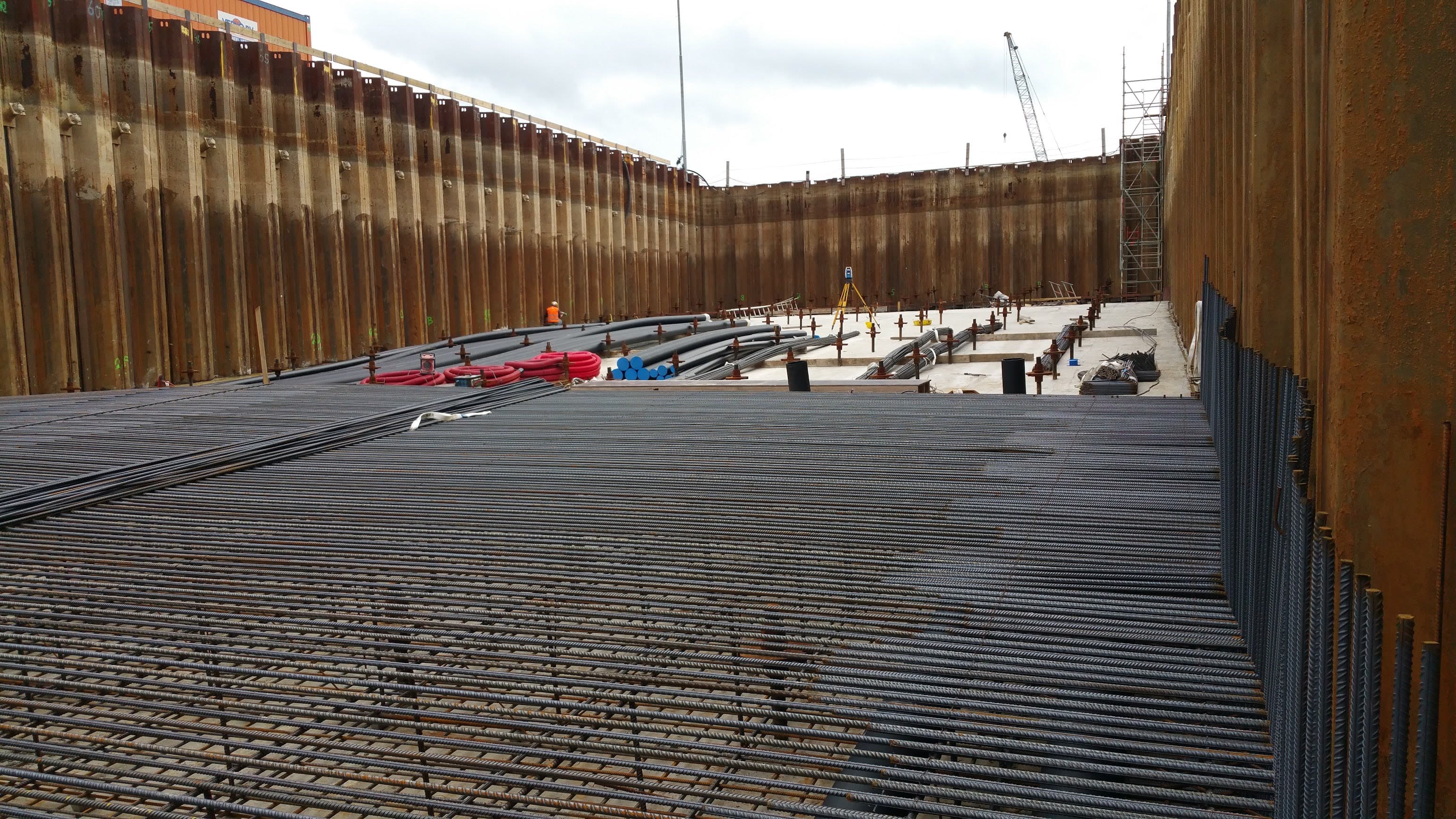
Survey work for the construction of Air Products' second liquid hydrogen plant in Rotterdam. Dimensional control and verification measurements for piping and installations.
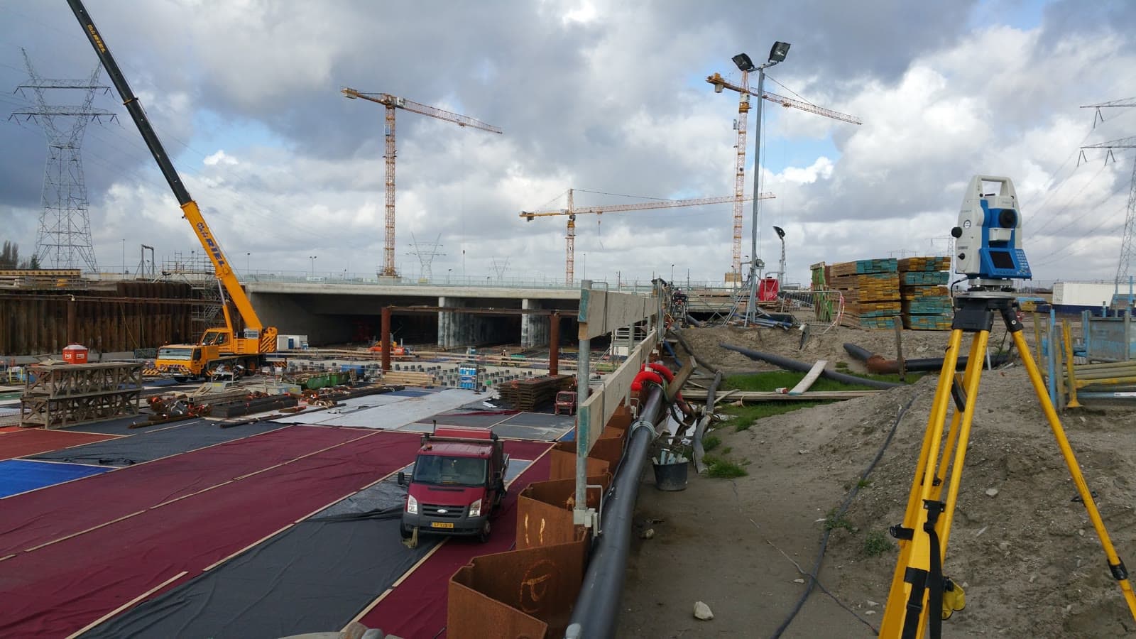
Road Reconstruction Maasvlakte
Survey work for the construction of a new T-junction beneath the Antarcticaweg, including 3x2 metre utility ducts for Neste.
Air Products Botlek
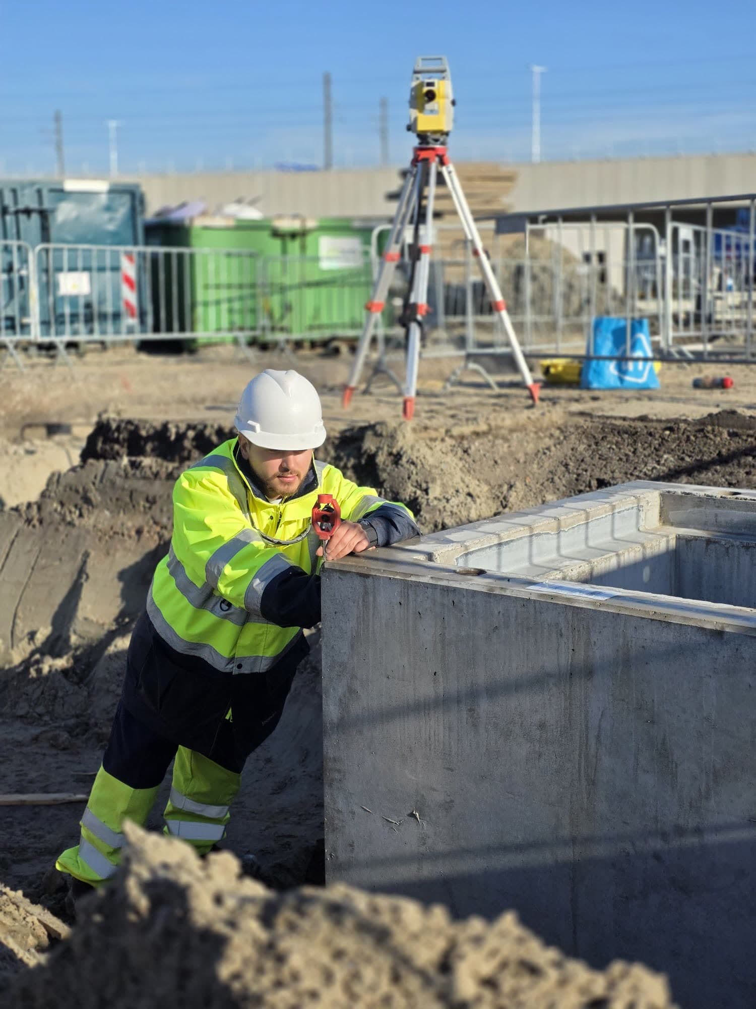
Dimensional control and positioning for the installation of pipelines and concrete pits at the Air Products site in the Botlek. Reports delivered to Strabag Züblin.
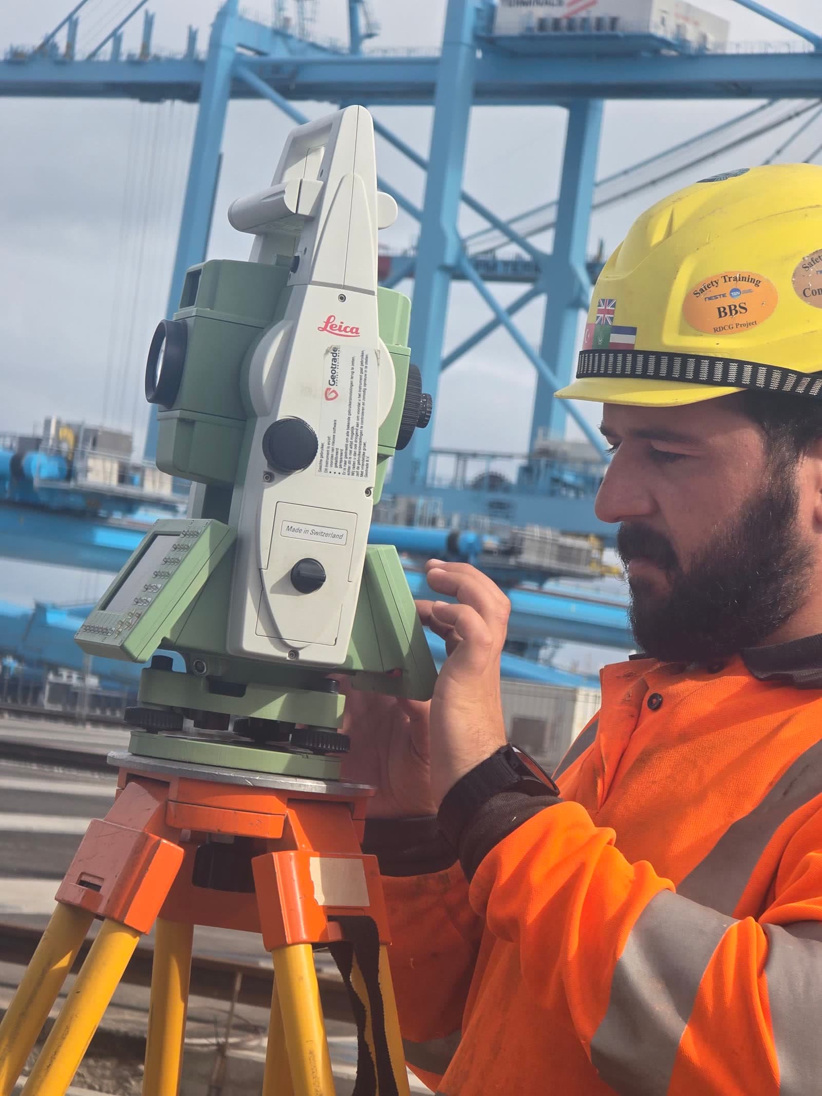
APM Terminals Maasvlakte II
Civil survey work for the expansion of APM Terminals Maasvlakte II. Dimensional control for paving, foundations and crane rails on a 51 hectare site.


Talk to our team directly.
Got a survey question or want to discuss the options? Feel free to reach out. We are happy to think along about the right approach for your project, no strings attached.
Send a message
Or request a no-obligation quote directly.