Utility Mapping
Knowing what is where, before you dig
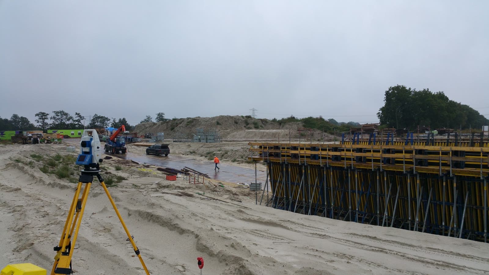
Know what is where before you dig.
When installing, relocating or renovating underground infrastructure, accurate registration of cables and pipelines is mandatory. Incomplete or outdated registrations lead to excavation damage, delays and high repair costs. According to the Dutch Land Registry, excavation damage costs the Netherlands tens of millions of euros each year.
We measure cables, pipelines, gas mains and sewers while the trench is still open. The position and depth are recorded in a digital file that complies with KLIC (Dutch utility registration system) guidelines. This makes the information usable for network operators, municipalities and future projects.
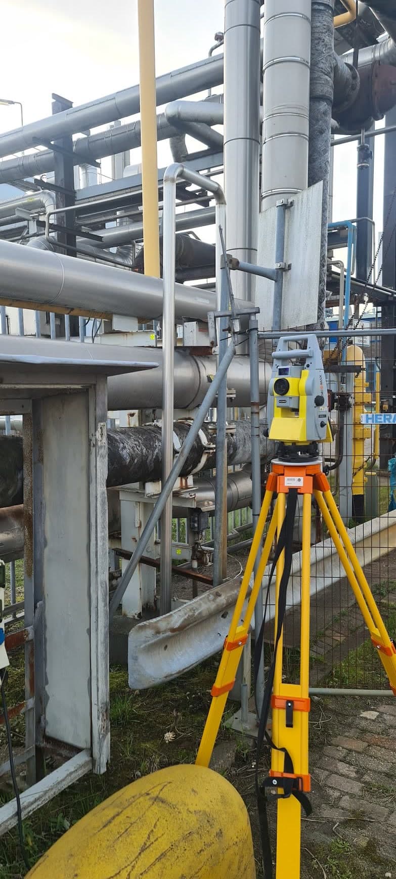
In addition to underground registration we also map above-ground infrastructure: connection points, manholes, cabinets and distribution boxes. The result is a complete digital overview of the infrastructure on your site.
Equipment & software
What you can expect.
Surveying cables and pipelines while the trench is open
Registration in line with KLIC guidelines
Digital delivery in GIS formats
Linking with existing utility registrations
Above-ground and underground measurements
FAQ.
The most asked questions about Utility Mapping. Question not listed? Feel free to get in touch.
When installing or relocating cables and pipelines in public areas, registration in line with KLIC guidelines is mandatory. On private land it is not always legally required, but strongly recommended to prevent excavation damage during future work.
All types: electricity, gas, water, telecom, fiber optics, sewers, district heating and data cabling. Both underground (when the trench is open) and above ground.
By default we deliver in common GIS formats such as IMKL (for KLIC), DWG, shapefile or GML. We deliver in the format your organization or the network operator requires.
Yes. With the trench open we measure the depth relative to ground level and record it in the registration file.
“We are very satisfied with the dimensional control service across various projects. From the very first contact, communication has run smoothly.”
“Michael had everything worked out the day before and was able to come the very next day. Delivers good work and is professional. We are very satisfied.”
“The dimensional control service was excellent. The team delivered accurate and timely results, which kept the project running smoothly.”
Related services.
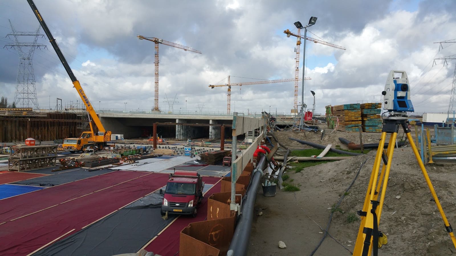
Land Surveying
Lay the geodetic foundation for your project. From site survey and topography to setting out, so your construction team can get started immediately.
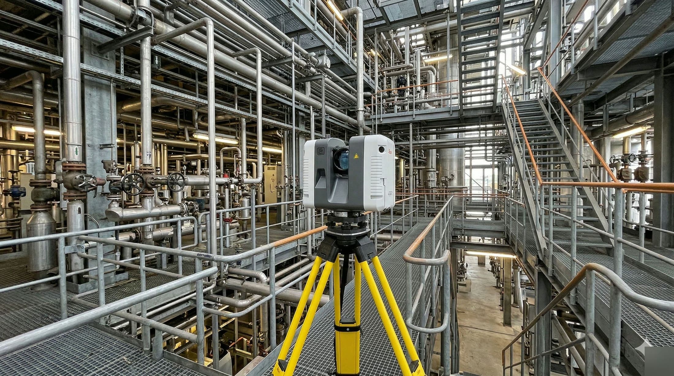
3D Scanning
Capture your installation in full digital detail. From point cloud to as-built, ready to use for BIM and engineering. Request a no-obligation quote.
As-built Verification
Verify that everything is where it should be. As-built measurements make deviations immediately visible so you can adjust in time.
More about Utility Mapping?
We are happy to discuss the options for your project. Reach out to Michael for personal advice, no strings attached.
No-obligation advice on the approach for your project. Usually a response within 24 hours.