GPS Surveying
Centimeter precision via satellite
Survey large areas quickly and accurately using RTK satellite corrections.
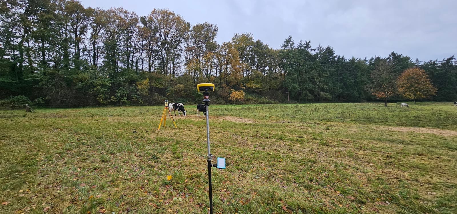
On large-scale measurements in open terrain, GNSS (GPS) is the fastest and most efficient survey method. Satellite signals combined with RTK corrections deliver centimeter-accurate positions, without requiring a clear line of sight between measurement points.
We deploy GNSS for terrain surveys, setting out construction projects, cable routes and road projects. The technology is particularly suited to situations with long distances or where speed is critical.
Through the 06-GPS network we receive real-time corrections (NRTK) for immediate centimeter precision. For the highest accuracy we perform static measurements with post-processing.
Equipment & software
What you can expect.
RTK measurements with centimeter precision
NRTK through the 06-GPS network
Static measurements for reference points
Post-processing for maximum accuracy
FAQ.
The most asked questions about GPS Surveying. Question not listed? Feel free to get in touch.
With RTK corrections we typically achieve 1 to 2 centimeters horizontally and 2 to 3 centimeters vertically. With static measurements and post-processing, sub-centimeter accuracy is possible.
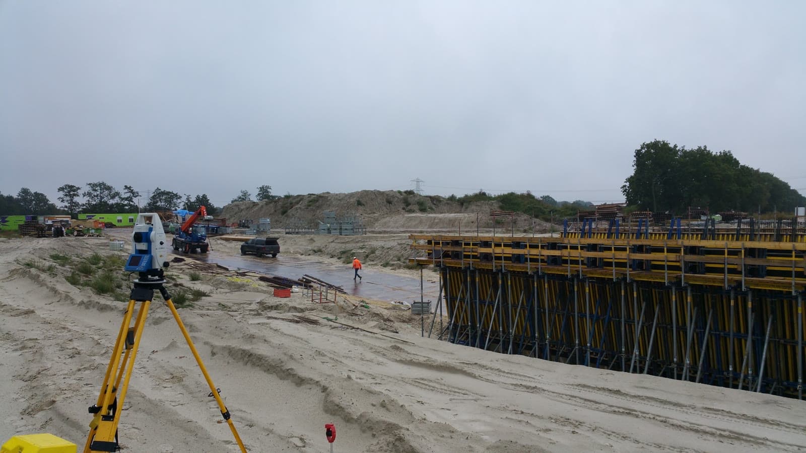
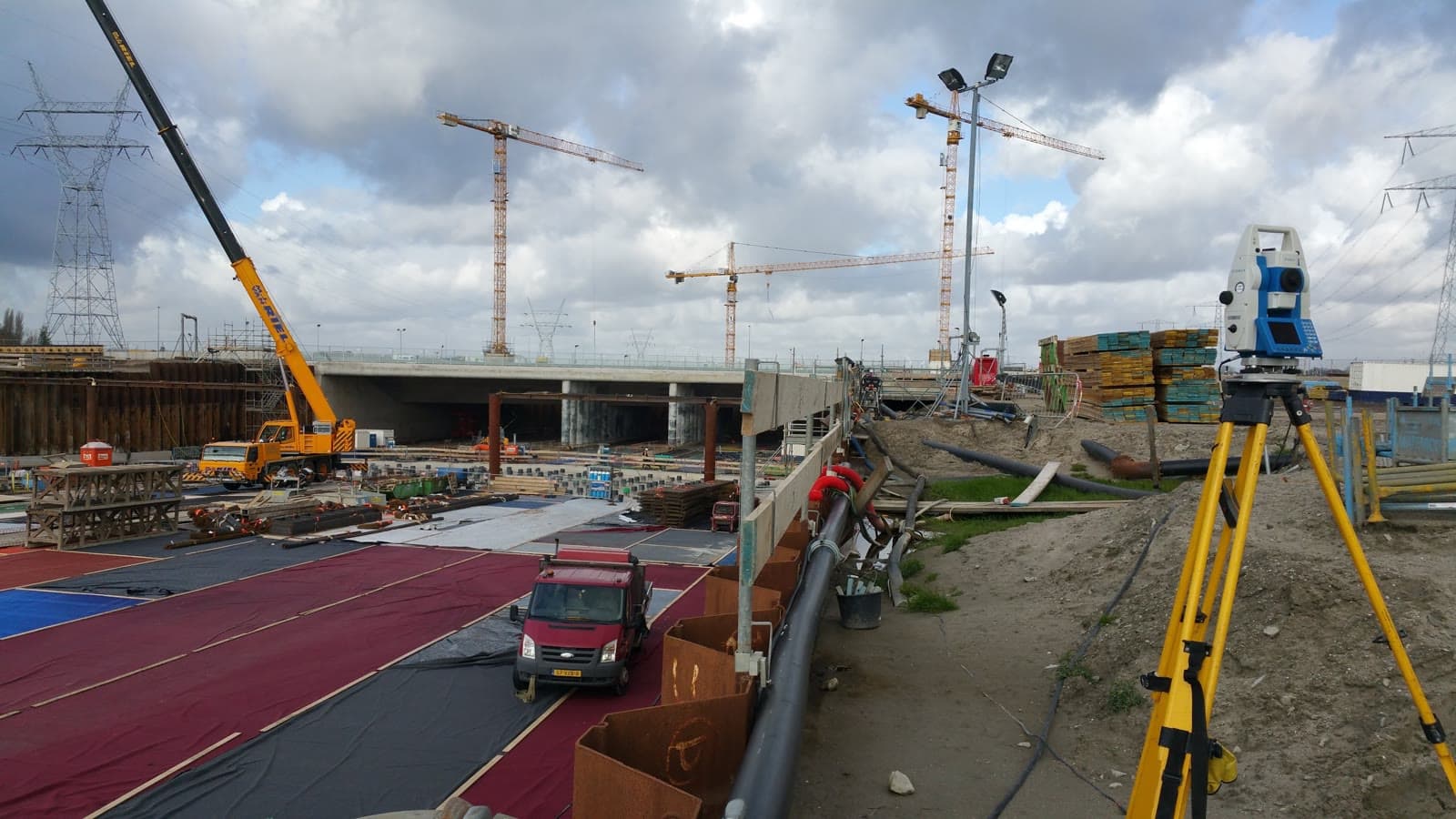
No, GNSS requires a clear view of the sky. In buildings, tunnels or densely wooded terrain we use a total station. We often combine both methods on the same project.
GPS works through satellites and is fast over long distances, but requires a clear view of the sky. A total station works with a laser beam and is more accurate (millimeter level), but requires lines of sight between points. We advise which method best suits your project.
Yes, GNSS works in rain, cloud cover and wind. Only severe atmospheric disturbances or very dense canopy can limit accuracy. In practice this is rarely an issue.
“We are very satisfied with the dimensional control service across various projects. From the very first contact, communication has run smoothly.”
“Michael had everything worked out the day before and was able to come the very next day. Delivers good work and is professional. We are very satisfied.”
“The dimensional control service was excellent. The team delivered accurate and timely results, which kept the project running smoothly.”
Related services.
Land Surveying
Lay the geodetic foundation for your project. From site survey and topography to setting out, so your construction team can get started immediately.
As-built Verification
Verify that everything is where it should be. As-built measurements make deviations immediately visible so you can adjust in time.
Precision Leveling
Get reliable elevation data accurate to a tenth of a millimeter. For foundations, floors and structural calculations, referenced to NAP.
More about GPS Surveying?
We are happy to discuss the options for your project. Reach out to Michael for personal advice, no strings attached.
No-obligation advice on the approach for your project. Usually a response within 24 hours.