A land surveyor determines where something is, or where it needs to go, in coordinates and heights. To do that, a surveyor measures the existing situation, sets out design points in the field and checks afterwards whether what was built stands where the drawing wants it.
Survey work is on the schedule of almost every construction or industrial project. In this article we walk through the four tasks behind it, the phase each one belongs to and what you have in hand at the end. That way you know what you are buying when you put land surveying on the schedule.
The four tasks of a land surveyor
The order and the emphasis vary per assignment, the tasks themselves do not.
Surveying: recording what is there
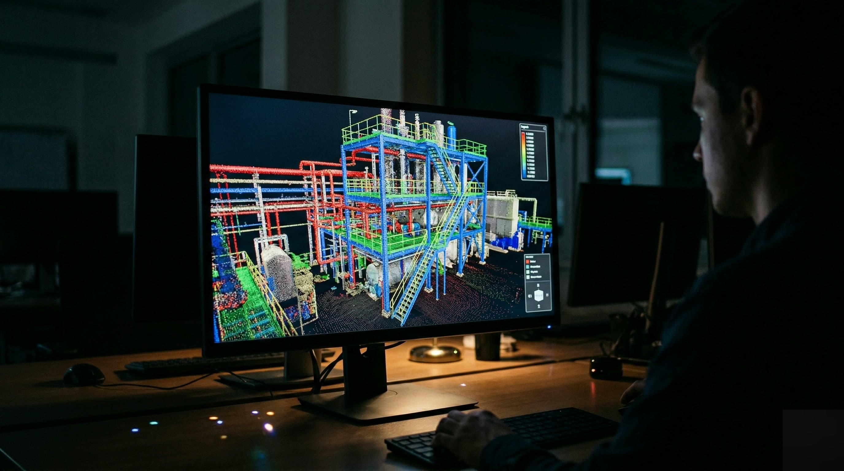
Before anything is drawn, it has to be clear what exists now: the terrain, the heights and what is already in place, above and below ground. A site survey or topographic survey delivers that base, as a drawing or as a digital terrain model. Anyone who designs a cable route or new paving on outdated drawings only notices the differences once the contractor is already on site. That is why we start with a site survey of the current situation. For a complete installation with a lot of geometry, 3D laser scanning is the faster route.
Setting out: marking where it needs to go
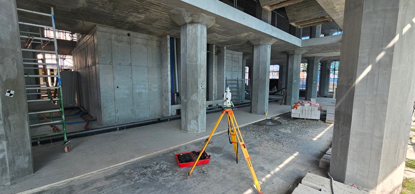
Setting out is the reverse movement: the dimensions from the design go into the field. The surveyor sets out reference points, gridlines, foundation points and levels, so the contractor knows where the formwork goes and the fitter knows where the anchors sit. A mistake in this phase carries straight through into the work that follows: a gridline set out in the wrong place means formwork that has to be redone, or anchors that do not fit. In construction and installation work we call this dimensional control.
Establishing heights relative to NAP
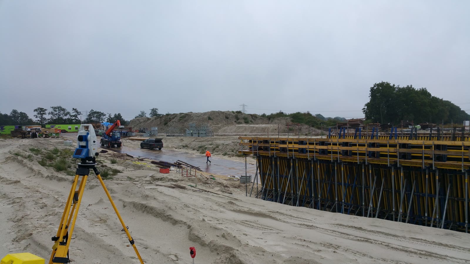
Floor levels, the gradient of a sewer and the tie-in to an existing road are less forgiving than position in the horizontal plane. That is why we tie heights to Normaal Amsterdams Peil (NAP), the Dutch national height datum, and carry out precision leveling on critical components with a level instrument rather than with GPS.
Verifying what has been built
After execution you want to know whether what was built stands where the drawing says it should, and how large the deviation is if it does not. An as-built verification records that, during construction or at handover. During construction a deviation can still be corrected before the next party builds on top of it.
How a dimensional control assignment works in practice
With us it takes four steps:
- You send the request and the drawings. We agree what needs to be set out or surveyed: which points, which levels, in which coordinate system and on which day.
- On site we set out or survey, with a total station and, where the terrain allows, with GNSS.
- In the office we process the measurement in the agreed coordinate system.
- You receive the agreed data, drawings or report, so your site manager knows where the foundation goes.
When do you bring in a land surveyor?
That depends on the phase your project is in.
- At the design stage: a site survey as the base layer for the architect or the engineer, with heights and existing objects.
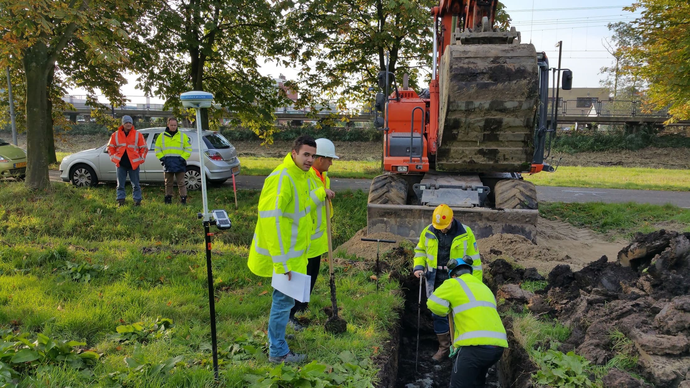
- Before the excavator arrives: recording the position of cables and pipelines.
- At the start of construction: setting out site boundaries, gridlines and foundation points.
- During execution: verification surveys, and for earthworks a volume calculation of what has been excavated or filled.
- With sheet piling, dewatering or preloading: a baseline survey of the surrounding buildings beforehand, so that later settlement can be demonstrated.
- At handover: recording the as-built situation for the client's asset file.
How a land surveyor measures
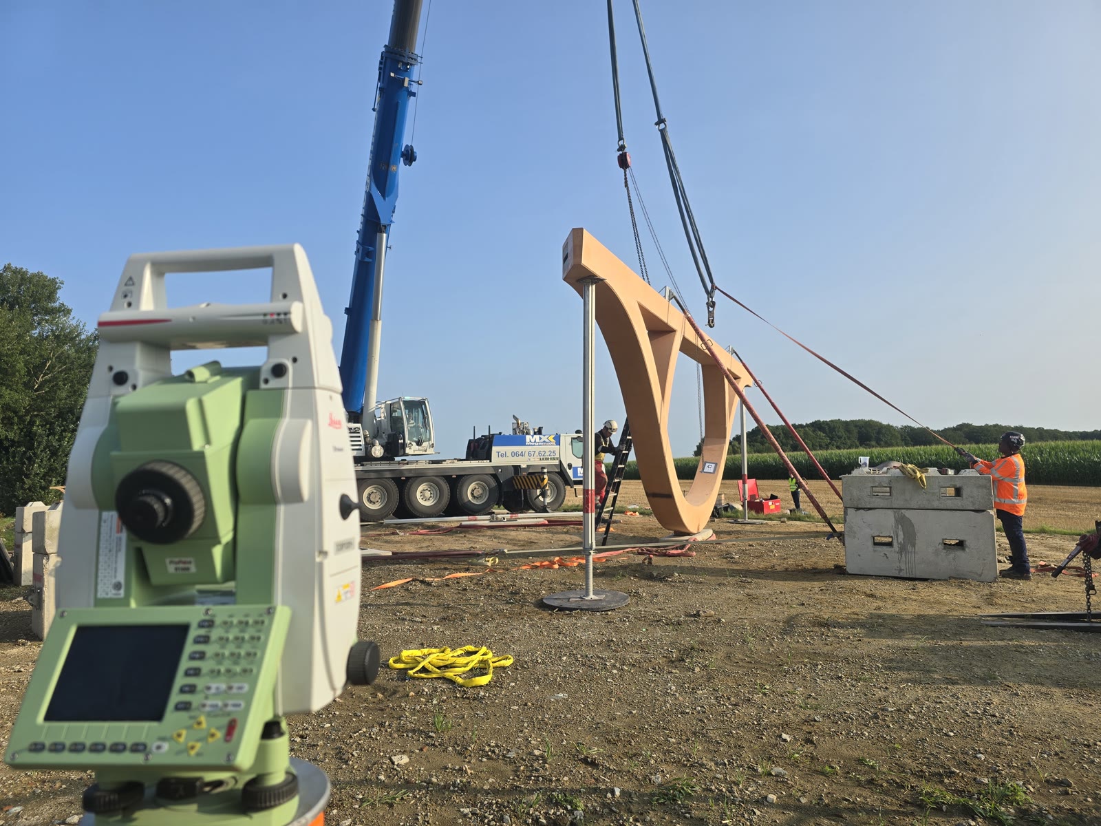
Which instrument we bring depends on the required accuracy and the size of the site. A total station measures angles and distances to a prism and achieves millimetres at short range; it is the instrument for setting out and verification. GNSS, the satellite system that GPS belongs to, works with RTK corrections at centimetre level and is the fastest on large, open sites. A 3D scanner captures an entire space in one go as a pointcloud, for situations with too much geometry to measure point by point. We work with our own Leica and GeoMax equipment and with the NavVis VLX as our scanner.
What you get back
Survey work delivers a file or a document that the next party can work with straight away. For setting out that is a coordinate list and a survey report with the deviations. For a site survey a site plan or a digital terrain model in DWG. For a scan a pointcloud in E57 or RCP, or a model in IFC or RVT. Agree the format and the coordinate system in advance, then the file fits your software and the work of the other parties. The drafting behind it, site plans and BIM models, is something we take care of as well.
Land surveyor, dimensional control surveyor or cadastral surveyor?
In practice the terms get mixed up. A dimensional control surveyor is the land surveyor on the setting-out side, on the construction site or during installation, and translates the design into points in the field. A cadastral surveyor deals with parcel boundaries and ownership, work that runs through the Dutch Land Registry (Kadaster). For a construction project or commercial property that comes down to a boundary reconstruction before anything is built on or against the boundary. We handle the geometric side, the formal registration stays with the Land Registry.
Survey work in your schedule
Not sure which measurement fits your situation? Send us your project through the quote form or call +31 85 303 5285 and we will take a look with you. What it costs depends on the scope of the work and on what you want delivered. You receive a quote in advance.
More than ten years of experience in industrial surveying and civil land surveying.
About Dutch Survey