Machine Control
Your design straight into the machine
Load your design directly into the excavator.
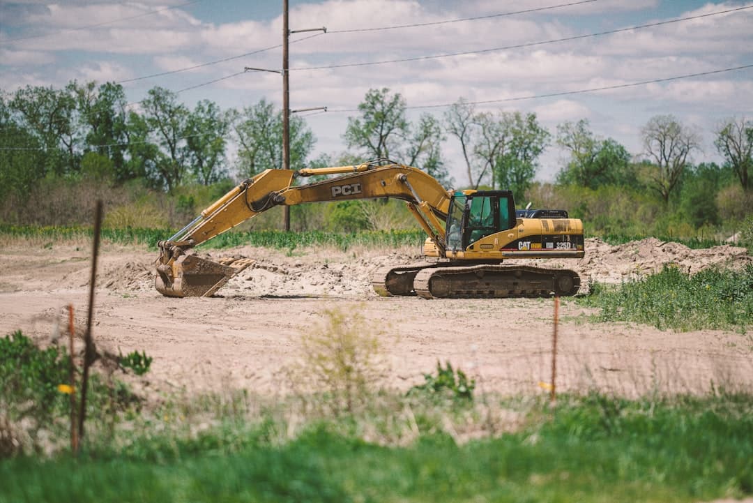
On road projects and earthworks, machine control delivers significant savings on time and material. The operator sees on a screen exactly where and how deep to dig, without a surveyor having to be on site continuously to set out stakes.
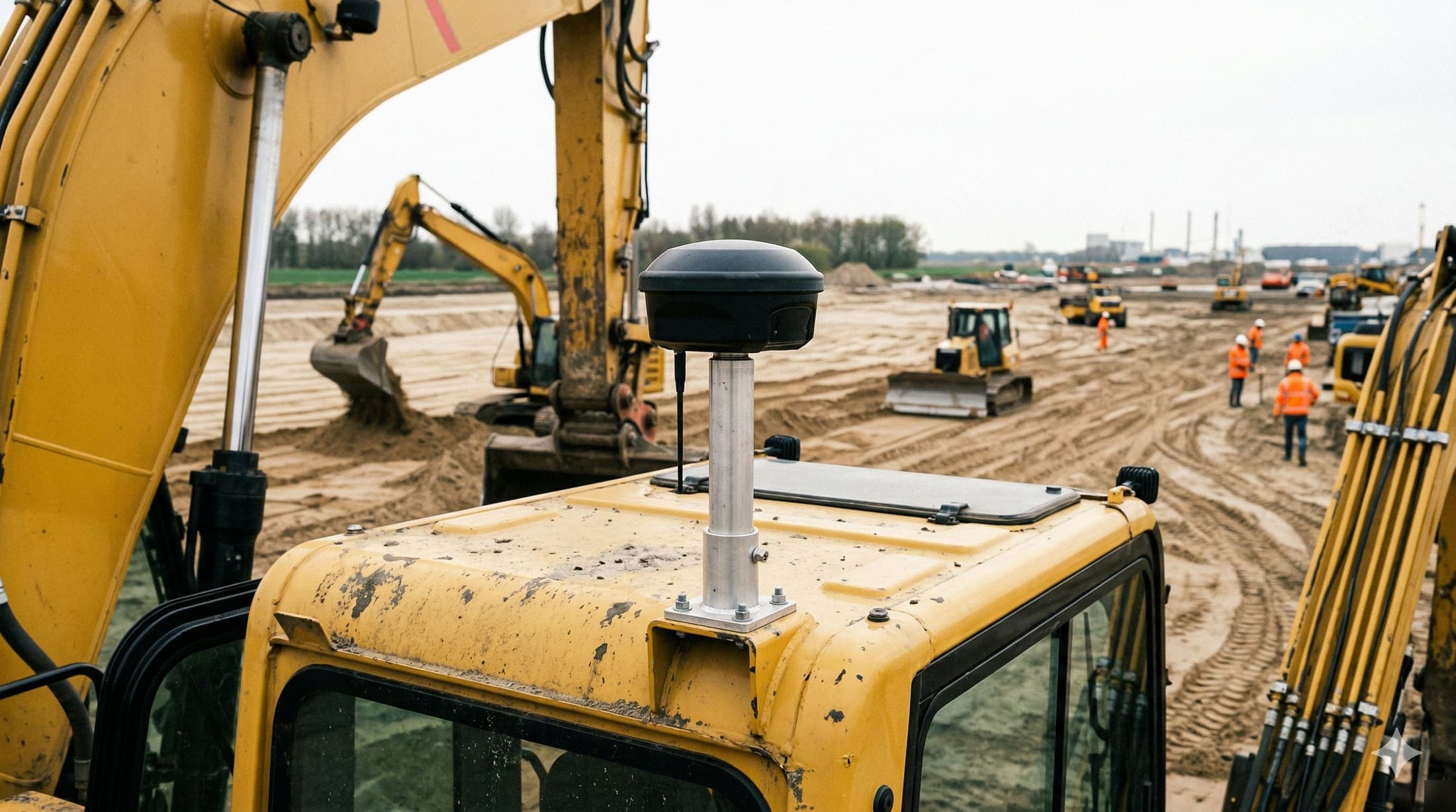
We create 3D control files based on your design drawing. The file is loaded into the GPS system on the machine (Topcon, Trimble or Leica) and steers the bucket of the excavator or loader. The result: the sand layer is finished to the correct elevation in one pass.
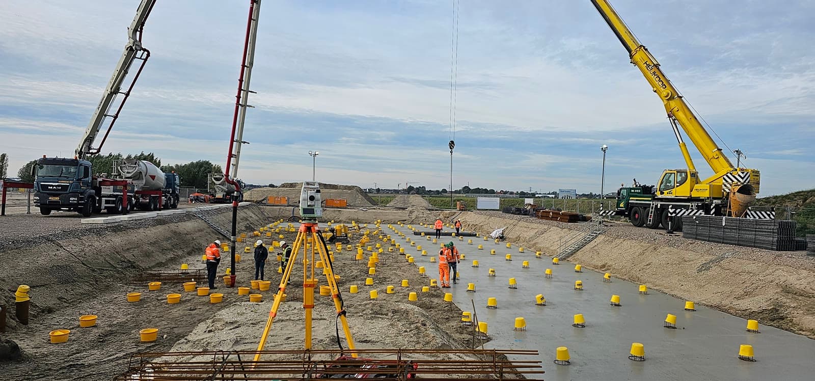
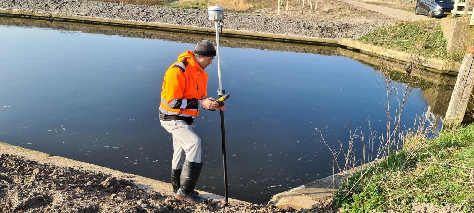
Besides creating the files, we verify on site that the system is set up correctly and that execution matches the design.
Equipment & software
What you can expect.
Creation of 3D control files
Support for Topcon, Trimble and Leica systems
On-site execution verification
Conversion of 2D design into 3D machine model
FAQ.
The most asked questions about Machine Control. Question not listed? Feel free to get in touch.
We create files for all common systems: Topcon (Digipilot), Trimble and Leica. The file is delivered in the format your system requires.
With GPS-based control the operator achieves an accuracy of 2 to 3 centimeters. That is more than sufficient for road construction and earthworks. Accuracy is verified using surveyed reference points.
A design drawing with elevations (cross sections or 3D design) and the specifications of the machine system. We advise if the drawing is incomplete.
“We are very satisfied with the dimensional control service across various projects. From the very first contact, communication has run smoothly.”
“Michael had everything worked out the day before and was able to come the very next day. Delivers good work and is professional. We are very satisfied.”
“The dimensional control service was excellent. The team delivered accurate and timely results, which kept the project running smoothly.”
Related services.
Volume Calculations
Calculate exactly how much material is in place or has to be moved. Accurate volume measurements for stockpiles and earthworks.
Land Surveying
Lay the geodetic foundation for your project. From site survey and topography to setting out, so your construction team can get started immediately.
GPS Surveying
Survey large areas quickly and accurately using RTK satellite corrections. Ideal for infrastructure projects and setting out in open terrain.
More about Machine Control?
We are happy to discuss the options for your project. Reach out to Michael for personal advice, no strings attached.
No-obligation advice on the approach for your project. Usually a response within 24 hours.