Volume Calculations
Knowing how much is there, down to the cubic meter
Calculate exactly how much material is in place or has to be moved.
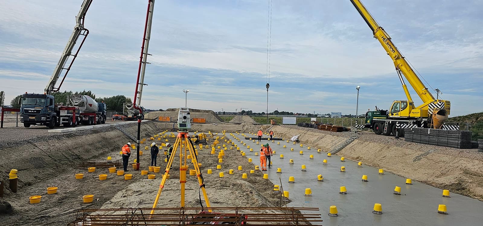
On earthworks projects, sand extraction or waste storage you need to know how much material is present or has to be moved. A wrong estimate leads to too little or too much transport, unnecessary costs and disputes with contractors.
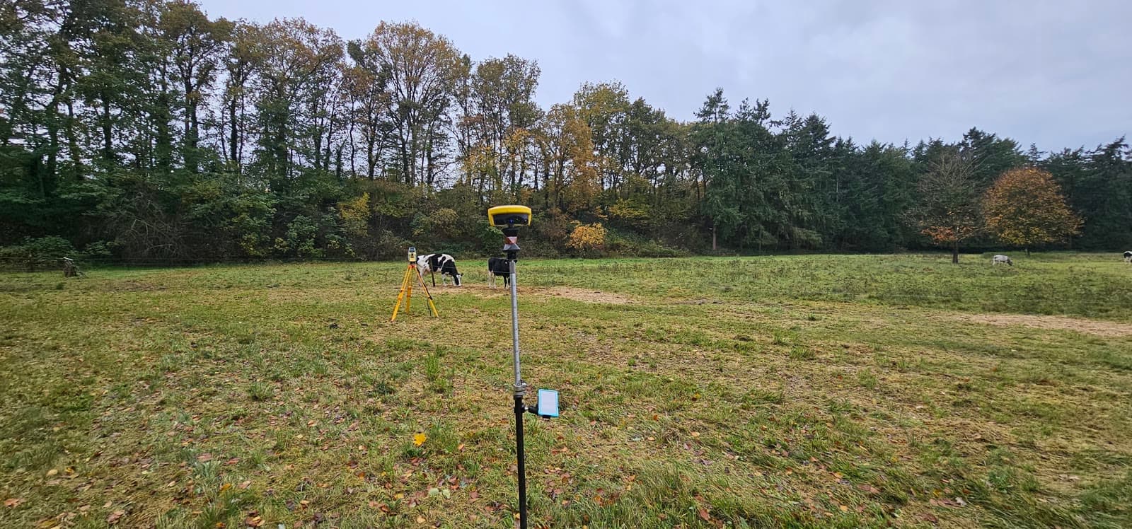
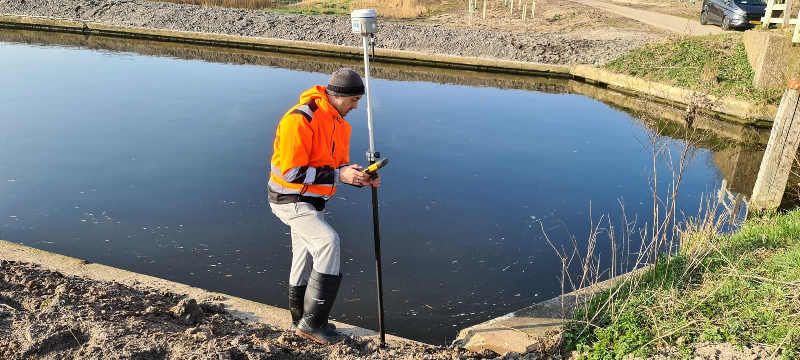
We survey the terrain and calculate the volume by comparison with a reference plane or an earlier measurement. The result is an accurate volume calculation, supported by profile lines, elevation maps and a clear report.
On large or hard-to-reach sites we can deploy drone imagery through our trusted partner. The aerial photos are processed into a 3D model from which the volume is calculated. Fast, accurate and without the need to enter the site.
Equipment & software
What you can expect.
Terrain survey and volume calculation
Comparison with a reference plane or earlier model
Reporting with profiles and elevation maps
Drone imagery for large sites (through partner)
FAQ.
The most asked questions about Volume Calculations. Question not listed? Feel free to get in touch.
Accuracy depends on the survey method and the terrain. With GPS and total station, a deviation of 2 to 5% is typical. With drone imagery (through our partner) and ground control points we achieve comparable accuracy over large surface areas.
Yes, through our trusted partner we can deploy drone imagery on sites larger than one hectare or in hard-to-walk terrain. The drone takes photos that are processed into a 3D model. For accuracy we place ground control points.
That depends on the project. For active earthworks projects, monthly or per phase is common. For inventory management at storage yards, an annual measurement may be sufficient.
“We are very satisfied with the dimensional control service across various projects. From the very first contact, communication has run smoothly.”
“Michael had everything worked out the day before and was able to come the very next day. Delivers good work and is professional. We are very satisfied.”
“The dimensional control service was excellent. The team delivered accurate and timely results, which kept the project running smoothly.”
Related services.
Land Surveying
Lay the geodetic foundation for your project. From site survey and topography to setting out, so your construction team can get started immediately.
GPS Surveying
Survey large areas quickly and accurately using RTK satellite corrections. Ideal for infrastructure projects and setting out in open terrain.
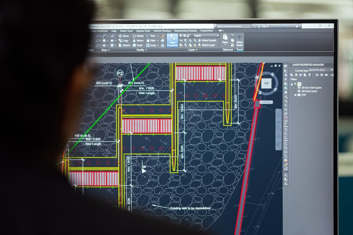
Drafting / CAD
Turn raw measurement data into usable drawings and 3D models. Receive your files in DWG, IFC or RVT, ready for engineering.
More about Volume Calculations?
We are happy to discuss the options for your project. Reach out to Michael for personal advice, no strings attached.
No-obligation advice on the approach for your project. Usually a response within 24 hours.