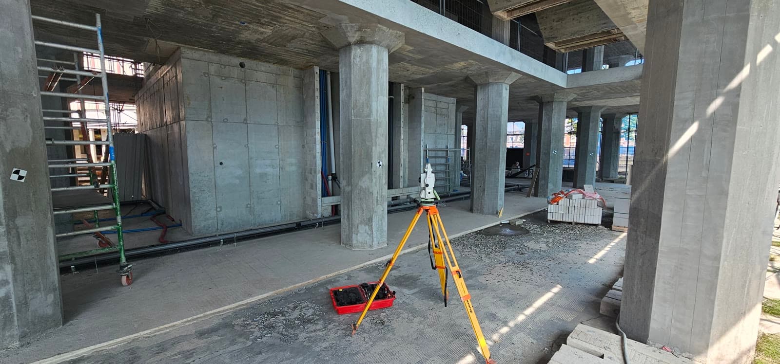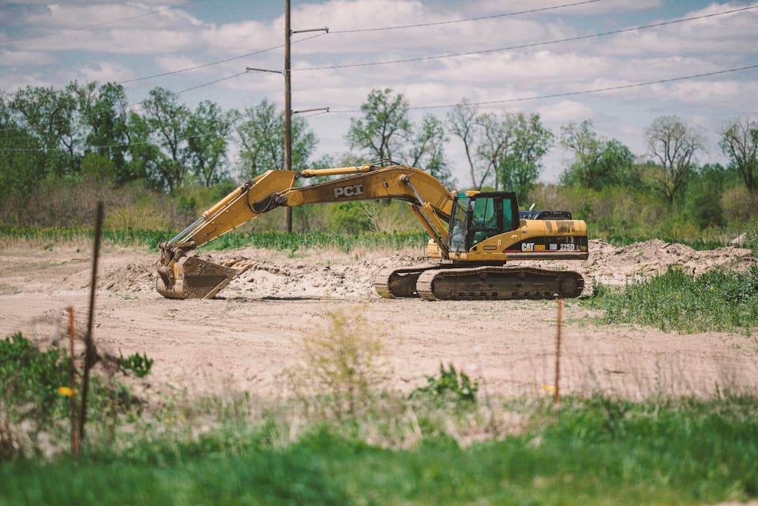
On a large earthworks project, the traditional approach is to work with stakes, pegs and a setting out crew that adjusts the machine day in and day out. With machine control that should be a thing of the past. The excavator or bulldozer carries GPS on board and knows at any moment exactly where the bucket or blade is positioned relative to the desired excavation surface.
How does it work?
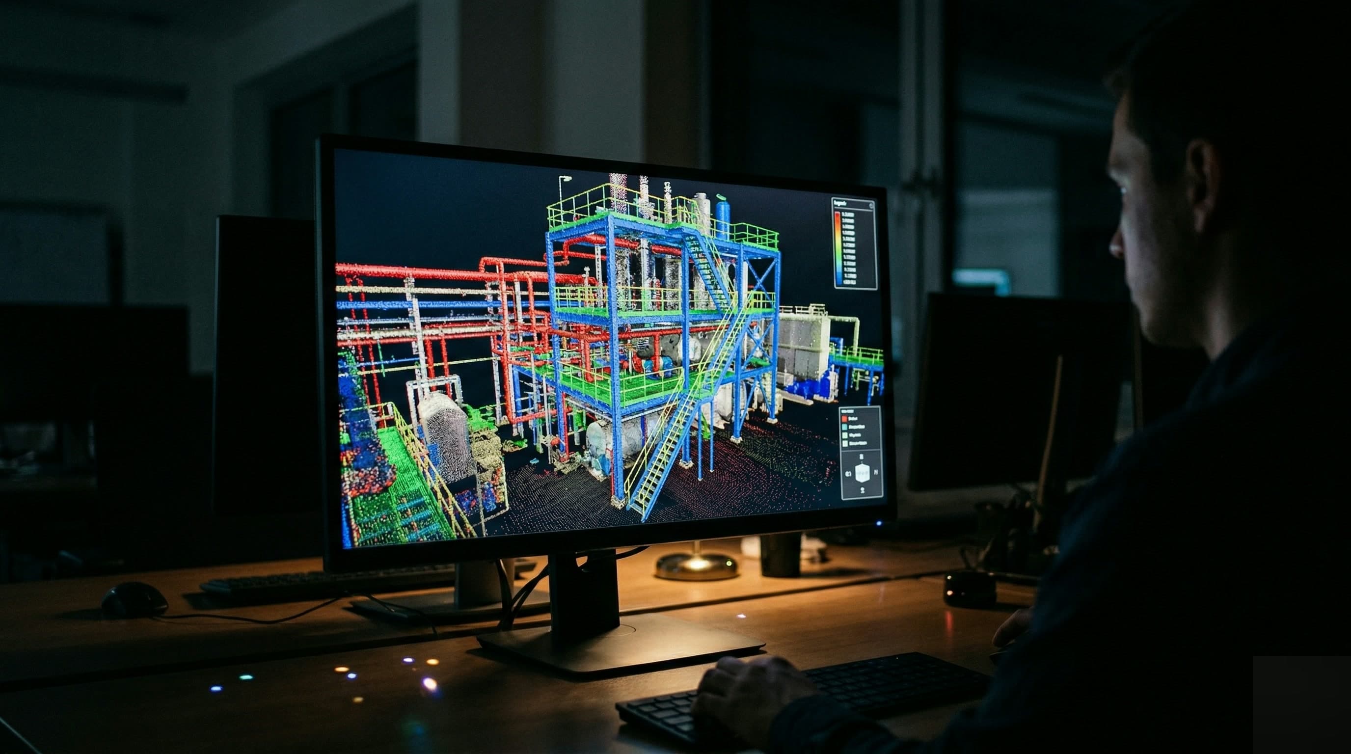
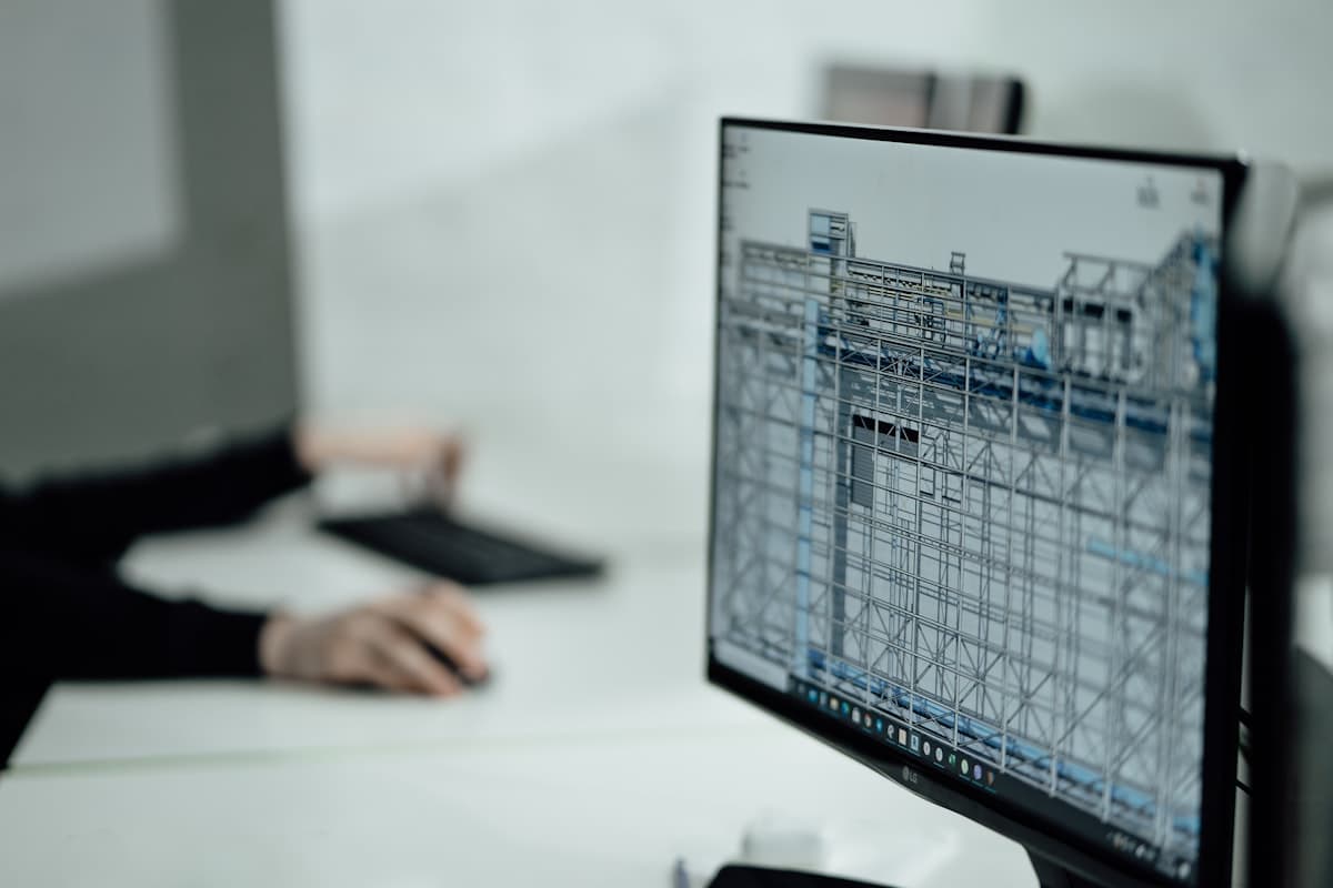
The surveyor builds a digital terrain model (DTM) of the desired final result. This model, including all slopes, surfaces and level changes, is loaded into the machine system. The operator sees on the in cab display in real time how deep or high they are working relative to the design. Adjusting is therefore intuitive and accurate.
What are the benefits?
- Fewer pegs and setting out on site. That lowers the cost of survey work during execution
- Less over and under excavation. Straight to the desired depth in the right place
- Higher productivity: operators have to stop less often for checks
- Fewer revisions and re-measurements at final acceptance
- Digitally reportable as-built: execution data exportable from the system
Dutch Survey BV delivers machine control files for Topcon, Leica and Trimble systems. We build the digital terrain model and prepare the files so that the machine can load them straight away the next morning.