Where am I in RD and NAP?
Press the button or tap the map. You see your X and Y in the Dutch national grid (RD) straight away, and how high the ground there lies relative to NAP.
Tap the map to choose a point.
- X (RD)
- 111,679
- Y (RD)
- 516,465
- Ground level
- 0.79 m above NAP
- Source
- The street in front of our office, Kanaalkade 57 in Alkmaar
Three digits are still missing after the decimal point: the millimetres. We survey those on site.
We do not store your location.
As soon as you measure a point, the line is ready here.
Height from the national height model AHN4, collected in 2020 through 2022. Use this height as a guide value.
Phone, map or our surveyor.
How far off you can be depends on how you measure. All bars share one scale: a hundred metres on the left, one millimetre on the right.
More accurate
Your phone
3 to 30 metresA phone determines its position with satellites and wifi. Between buildings or under trees that position drifts further. The height can jump as well, on a dike or embankment sometimes by a metre.
Tap on the map
1 to 50 metresThat depends on how far you zoom in. Fully zoomed in, your tap is about a metre from the spot you mean; zoomed out it can be tens of metres.
Our surveyor
1 millimetre to 2 centimetresWe survey with a GNSS receiver that takes corrections from a national network, or with a total station. That fixes your point to the centimetre, with a total station to the millimetre.
Common values, for guidance
X and Y
X and Y give your position in the Dutch national grid (Rijksdriehoeksstelsel, RD), the coordinate system surveyors in the Netherlands work in. X runs in metres from west to east, Y from south to north. The tower in Amersfoort sits at X 155,000 and Y 463,000. The origin is chosen so that every point in the country gets a positive X and Y.
Ground level
The height of the ground at that point, measured from NAP, the fixed zero level for the whole of the Netherlands. The height comes from AHN4, a national height model collected in 2020 through 2022 by laser scanning from an aircraft. If the terrain was raised or excavated after that, it is not in there yet. On a roof or on water the model returns nothing; tap the street next to it.
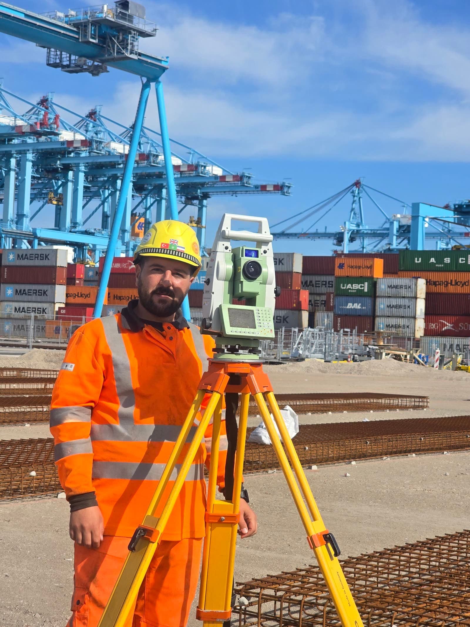
We come out and survey the point.
With a GNSS receiver or total station we record it in RD and NAP, for instance to set out an excavation or to establish the height before earthworks begin. Your X and Y go into the request automatically.
Or call Michael van Drie: 085 303 5285